Enable Location

We need your location to show you interesting places around you

Discover nearby places

Find interesting locations and hidden gems around you

Precise directions

Get accurate directions and distances to places

Your location is never shared with other users. It's only used when you tap the location button.

Log in to your account

14M+
places
190+
countries
Save your favorite places
Create custom travel routes
Rate and review places
Access the full interactive map
Continue with Google
Continue with Apple
Continue with email
By continuing, you accept our Terms and Conditions and our Privacy Policy
Create an account
Add to collection
Map
Suggest a change
Share

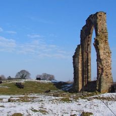
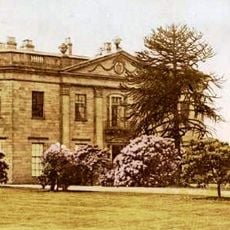
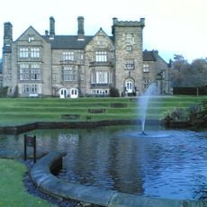
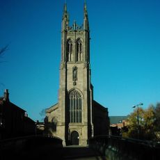
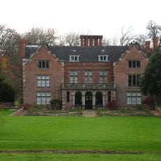
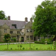
Erewash, Administrative district in Derbyshire, UK.

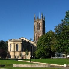
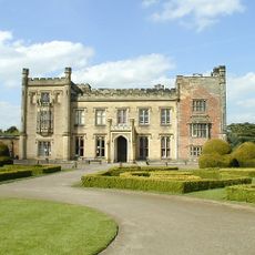
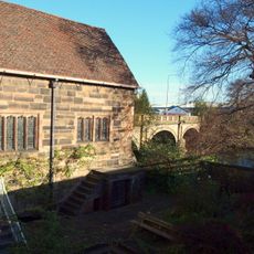
Erewash is an administrative district in eastern Derbyshire that encompasses two significant towns: Ilkeston and Long Eaton, alongside several smaller communities. The district functions as a local government area with its own council structure overseeing local services and community matters.

The district was created in 1974 as part of a major reorganization of local government in England and received its official borough status. This restructuring brought together several former administrative areas into one unified district.

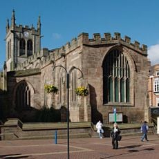
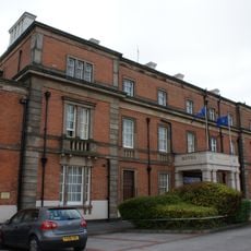
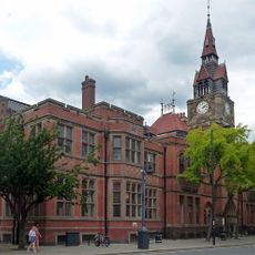
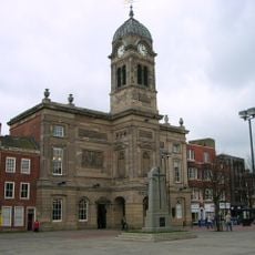
The district maintains two separate town halls in Ilkeston and Long Eaton, reflecting the dual urban nature of its administrative structure and community centers.

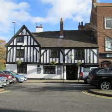
Visitors will find the main services and facilities concentrated in the two town centers of Ilkeston and Long Eaton. Exploring the district works best by focusing on these towns, as the area covers a wider region with dispersed communities.

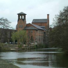
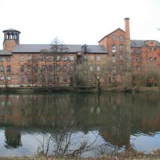
The district takes its name from the River Erewash, which forms its eastern boundary and has long defined the character of this area. This river has shaped settlement patterns and local life for generations.

Location: Derbyshire

Inception: April 1, 1974

Capital city: Ilkeston

Shares border with: City of Derby, South Derbyshire, Amber Valley

Website: https://erewash.gov.uk

GPS coordinates: 52.91667,-1.31667

Latest update: December 7, 2025 20:40

Photos
Reviews

Visited this place? Tap the stars to rate it and share your experience / photos with the community! Try now! You can cancel it anytime.

« Erewash - Administrative district in Derbyshire, UK » is provided by Around Us (aroundus.com). Images and texts are derived from Wikimedia project under a Creative Commons license. You are allowed to copy, distribute, and modify copies of this page, under the conditions set by the license, as long as this note is clearly visible.

Discover hidden gems everywhere you go!

From secret cafés to breathtaking viewpoints, skip the crowded tourist spots and find places that match your style. Our app makes it easy with voice search, smart filtering, route optimization, and insider tips from travelers worldwide. Download now for the complete mobile experience.

Around Us App Screenshot

A unique approach to discovering new places

Le Figaro

All the places worth exploring

France Info

A tailor-made excursion in just a few clicks

20 Minutes