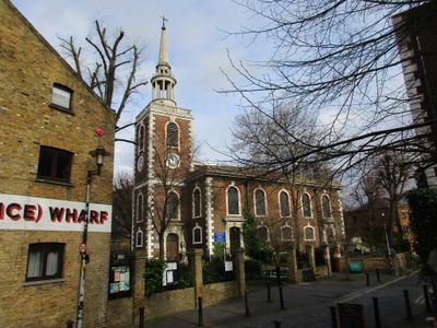
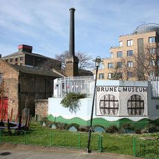
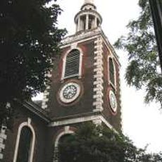
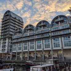
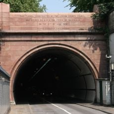
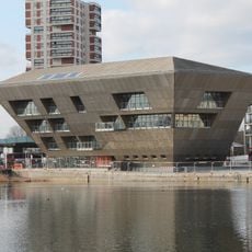
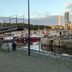
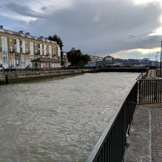
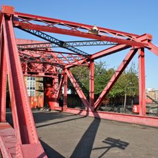
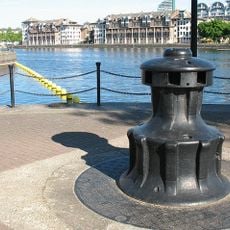
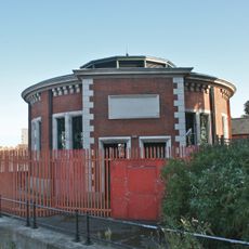
Rotherhithe, residential district in southeast London, England
Location: London Borough of Southwark
Shares border with: South Bermondsey
GPS coordinates: 51.49890,-0.04260
Latest update: March 23, 2025 06:32
Brunel Museum
781 m
St Mary's Church
834 m
Surrey Docks Farm
609 m
Baltic Quay
695 m
Holy Trinity Church, Rotherhithe
573 m
Swedish Quays
644 m
St Olav's Norwegian Church
782 m
70, St Marychurch Street
828 m
Footbridge Over Greenland Dock
708 m
Sunshine Weekly and the Pilgrims Pocket
753 m
The Finnish Church Including Attached Tower
700 m
Surrey Portal Of The Rotherhithe Tunnel
656 m
Swing Bridge Over Cutting Between Greenland Dock And Norway Dock
545 m
Brandrams Wharf
772 m
Rotherhithe (Norwegian Seamen) War Memorial
801 m
Rotherhithe (Holy Trinity) War Memorial
551 m
Archway To Rotherhithe Tunnel Approach
812 m
Tide Gauge House On South Quay Of Greenland Lock
780 m
Former Dock Manager's Office And 1-14 Dock Offices
630 m
Canada Water Library
474 m
Swing Footbridge Over Steelyard Cut
648 m
Rotherhithe War Memorial
832 m
Lock Keepers Cabin And Storeroom On South Quay Of Greenland Lock
745 m
Greenland Lock Including Gates, Bollards And Capstans
726 m
Rotherhithe Street Bridge
695 m
Capstan, Greenland Dock
433 m
Air Shaft To The Rotherhithe Tunnel
733 m
Curlicue
754 mReviews
Visited this place? Tap the stars to rate it and share your experience / photos with the community! Try now! You can cancel it anytime.
Discover hidden gems everywhere you go!
From secret cafés to breathtaking viewpoints, skip the crowded tourist spots and find places that match your style. Our app makes it easy with voice search, smart filtering, route optimization, and insider tips from travelers worldwide. Download now for the complete mobile experience.
A unique approach to discovering new places❞
— Le Figaro
All the places worth exploring❞
— France Info
A tailor-made excursion in just a few clicks❞
— 20 Minutes