
Southery, village in the United Kingdom
Location: King's Lynn and West Norfolk
GPS coordinates: 52.52580,0.38830
Latest update: March 22, 2025 22:16
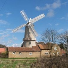
Denver Windmill
6.7 km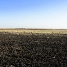
Burnt Fen
7.6 km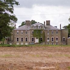
Ryston Hall
6.5 km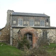
St Nicholas' Church, Feltwell
9.9 km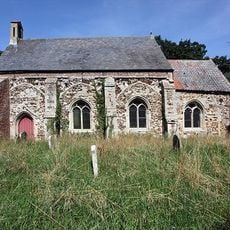
St Mary's Church, Fordham
5 km
Hilgay Heronry
4.7 km
Shippea Hill SSSI
9.9 km
Welney Wetland Centre
7.1 km
Church of St Michael, Ryston
7.1 km
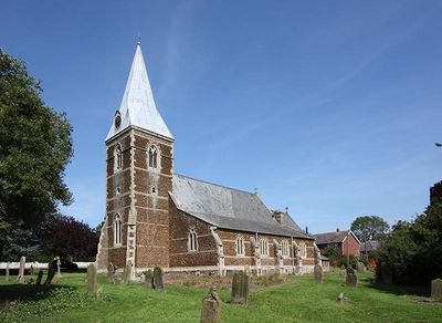
Church of St Mary
101 m
Church of St Mark
3.6 km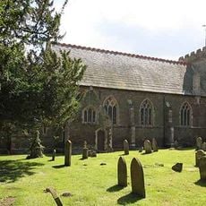
Church of All Saints
3.4 km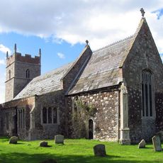
Church of All Saints
8.7 km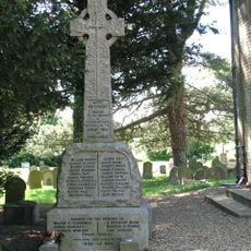
Ten Mile Bank War Memorial Adjacent to Church of St Mark
3.6 km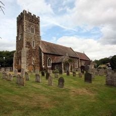
Church of St Mary
7 km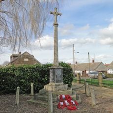
Southery War Memorial Cross
67 m
Wood Hall
2.9 km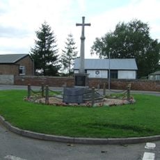
Hilgay War Memorial
3.7 km
Denver and District War Memorial
6.9 km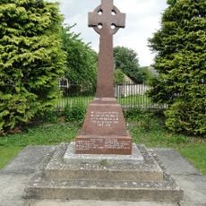
Feltwell War Memorial
10.1 km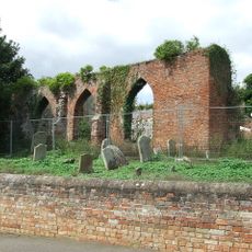
Ruins of Old Church of St Mary
152 m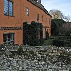
Manor House Farmhouse
6.8 km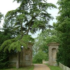
Gatepiers At North East Corner Of Abbey Precinct
7.5 km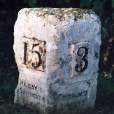
Milestone, opp. church
5 km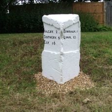
Milestone, 20yds N of Ryston Park Golf Club
6.6 km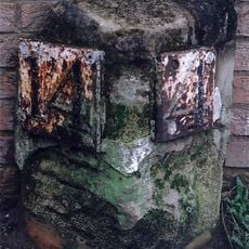
Milestone, 15yds S of Stocks Hill
3.7 km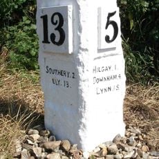
Milestone, 60yds N of junction with Modney Bridge Road
2.3 km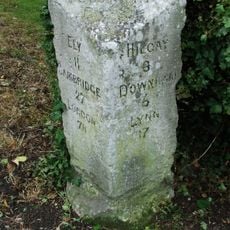
Milestone, Westgate Street, by No. 35
265 mReviews
Visited this place? Tap the stars to rate it and share your experience / photos with the community! Try now! You can cancel it anytime.
Discover hidden gems everywhere you go!
From secret cafés to breathtaking viewpoints, skip the crowded tourist spots and find places that match your style. Our app makes it easy with voice search, smart filtering, route optimization, and insider tips from travelers worldwide. Download now for the complete mobile experience.

A unique approach to discovering new places❞
— Le Figaro
All the places worth exploring❞
— France Info
A tailor-made excursion in just a few clicks❞
— 20 Minutes