
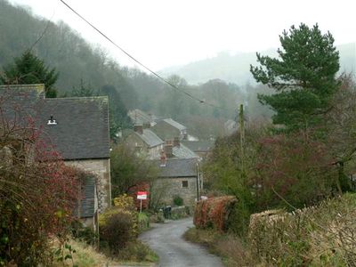
Carsington, village and civil parish in Derbyshire Dales district, Derbyshire, England
Location: Derbyshire Dales
Shares border with: Hopton, Brassington, Hognaston, Callow
GPS coordinates: 53.07800,-1.62700
Latest update: March 6, 2025 17:21
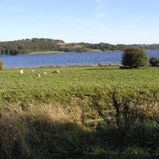
Carsington Water
2.2 km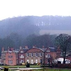
Hopton Hall
558 m
Carsington Water Visitor Centre
2.1 km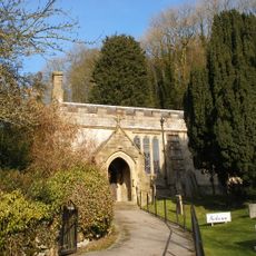
Church of St Margaret
166 m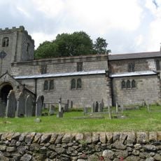
Church of St James
2.2 km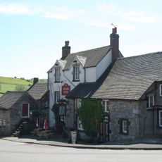
Miners Arm and outbuildings
2.2 km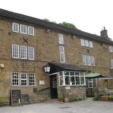
Miner's Arms Inn
235 m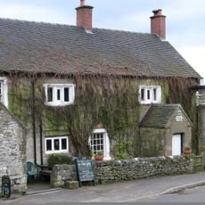
The Gate Inn
2.2 km
Harboro' Cave
1.9 km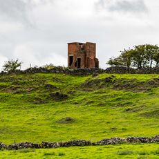
World War Two Observation Post
3 km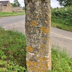
Guide Post 100 Metres South Of Sycamore Farm
1.6 km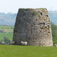
Hopton Windmill
990 m
Upperfield Farmhouse And Adjoining Barn To The West
2.5 km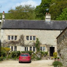
Swiers Farmhouse
115 m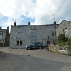
Red Lion House
2.2 km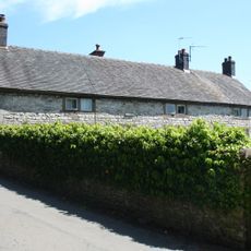
The Manor House
2.2 km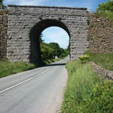
Railway Bridge Half A Mile South Of Arm Lees Farm
1.6 km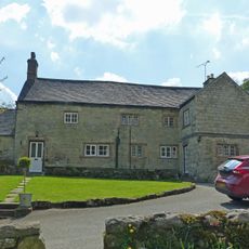
Glebe House
152 m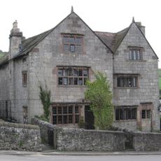
Tudor House
2 km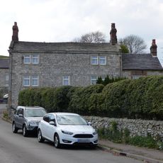
Pleasant House
2.1 km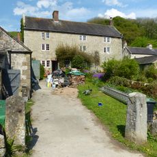
Kingsford Farmhouse
71 m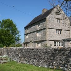
Netherton Hall
3.2 km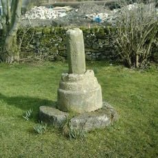
Village Cross
156 m
Farmbuildings to south east of Sunnyside
111 m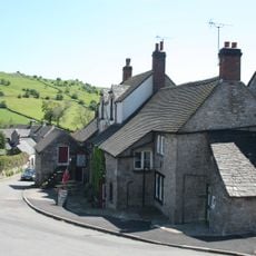
House adjoining Miner's Arms
2.2 km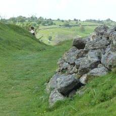
Carsington Pasture, Nickalum, Perserverance, West Head, Break Hollow and other small mines and medieval field boundaries
789 m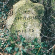
Milestone, Brook Knowles
618 m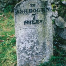
Milestone, E of Hopton village
1.1 kmVisited this place? Tap the stars to rate it and share your experience / photos with the community! Try now! You can cancel it anytime.
Discover hidden gems everywhere you go!
From secret cafés to breathtaking viewpoints, skip the crowded tourist spots and find places that match your style. Our app makes it easy with voice search, smart filtering, route optimization, and insider tips from travelers worldwide. Download now for the complete mobile experience.

A unique approach to discovering new places❞
— Le Figaro
All the places worth exploring❞
— France Info
A tailor-made excursion in just a few clicks❞
— 20 Minutes