Arbury Banks, Iron Age hillfort in Ashwell, England
Arbury Banks is an Iron Age hillfort featuring substantial defensive earthworks in Ashwell. The site is enclosed by a deep defensive ditch with internal embankments, with two entrance passages positioned at opposite ends of the fort.
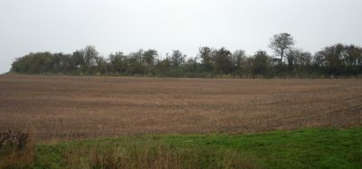
This hillfort was built during the late Bronze Age as a defended settlement in the chalky Chilterns landscape. It stands as one of several similar forts that were constructed along this northern ridge during that era.
The site reveals how Iron Age people organized their living spaces through the remains of rectangular structures and circular hut foundations scattered across the interior. These traces show the practical ways residents arranged their homes and daily activities within the fort's protective boundaries.
The site is freely accessible to visitors and can be explored throughout the year in any weather conditions. It is best to wear sturdy footwear as the uneven terrain with slopes and ditches requires careful footing.
The site is part of a research project studying prehistoric structures throughout the Chilterns area and their relationship to the landscape. Walking through the earthworks today offers visitors a sense of how communities once positioned their settlements on these ancient chalk hills.
The community of curious travelers
AroundUs brings together thousands of curated places, local tips, and hidden gems, enriched daily by 60,000 contributors worldwide.