
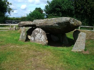
Arthur's Stone, Herefordshire
Arthur's Stone, Herefordshire, Neolithic burial chamber in Dorstone, England
Arthur's Stone is a prehistoric burial chamber in Dorstone made of nine upright stones topped by a massive capstone. An entrance passage leads into this structure, which was originally covered by an earthen mound.
This burial site dates to the Neolithic and was constructed between 3700 and 2700 BCE. It evolved from a simple ceremonial place into a larger monument with dedicated spaces for community gatherings.
Local legends tie the site to King Arthur, who supposedly defeated a giant here and left marks on the stones from the encounter. These stories continue to shape how people understand and experience the place today.
A walking path connects the monument to Dorstone village, where parking is available in the center. The site is easily reached on foot when conditions are dry and accessible.
Archaeological research revealed that the structure belongs to the Severn-Cotswold tomb group, reflecting regional building practices of its time. This connection shows how the monument fits into a wider network of similar structures across the region.
Location: Dorstone
Website: https://english-heritage.org.uk/visit/places/arthurs-stone
GPS coordinates: 52.08229,-2.99535
Latest update: December 8, 2025 19:59
Snodhill Castle
2.8 km
Moccas Court
3.9 km
Bredwardine Castle
2 km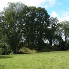
Dorstone Castle
1.7 km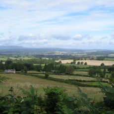
Dorstone Hill
1 km
Church of St Leonard
4.7 km
Church of St Faith
1.4 km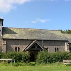
Church of St. Michael and All Angels
4.3 km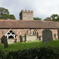
Church of St Andrew
2.1 km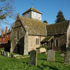
Church of St John the Baptist
3.7 km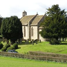
Church of St Michael and All Angels
3.8 km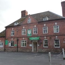
Red Lion Hotel
1.9 km
Base Of Village Cross About 100 Yards West-North-West Of The Church Of St Michael
4.4 km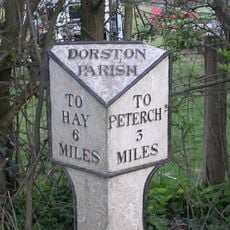
Milestone About 250 Metres North-East Of Church Of St Faith
1.2 km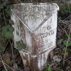
Milestone About 4130 Metres East South East Of Church Of St Mary
2.8 km
Bredwardine Bridge
2.4 km
Willersley Court
4.4 km
Old Crow Cottage
4.3 km
Magdalene House
4.3 km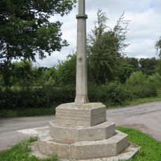
Moccas War Memorial
3.7 km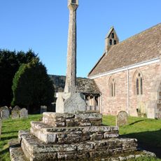
Churchyard cross in St Leonard's churchyard
4.8 km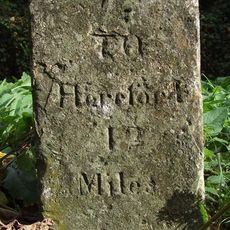
Milestone At National Grid Reference So 334467
3.9 km
The Old Vicarage
4.8 km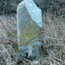
Milestone, Willersley Court; 300m E
4.2 km
Dorstone village cross
1.5 km
Milestone, Knapp Farm
2.1 km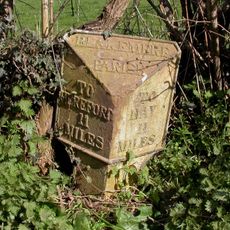
Milepost, N of village, N of Preston turn
4.8 km
Milepost, opp. entrance New Court, Brobury
3.2 kmVisited this place? Tap the stars to rate it and share your experience / photos with the community! Try now! You can cancel it anytime.
Discover hidden gems everywhere you go!
From secret cafés to breathtaking viewpoints, skip the crowded tourist spots and find places that match your style. Our app makes it easy with voice search, smart filtering, route optimization, and insider tips from travelers worldwide. Download now for the complete mobile experience.

A unique approach to discovering new places❞
— Le Figaro
All the places worth exploring❞
— France Info
A tailor-made excursion in just a few clicks❞
— 20 Minutes