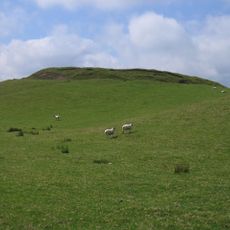
Beacon Hill, Summit peak in Powys, Wales.
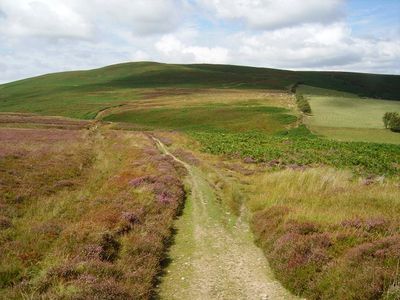
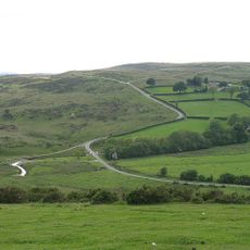
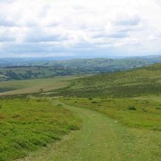
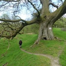
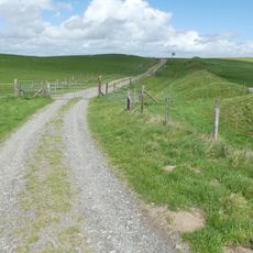
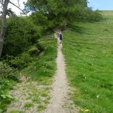
Beacon Hill is a summit in Powys that rises to about 547 meters and opens onto wide views across Welsh countryside and the River Teme valley below. Forest paths crisscross the slopes, and a car park on the western side makes it accessible for people arriving by vehicle.
A triangulation pillar from the Ordnance Survey sits on the summit, used historically as a reference point for national mapping work. These pillars were placed across the country starting in the 18th century to create accurate surveys of British territory.
Locals call this hill Mynydd Disglair in Welsh, reflecting how the landscape carries the region's bilingual character in everyday speech. You will see both names used on signs and by people who know the area well.
Several forest tracks lead up the slopes, with the main car park on the western side providing the easiest starting point. The ground can be wet and muddy, especially after rain, so good footwear and weather protection are worth bringing.
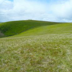
The hill is built from an unusual stone formation called Quartz Conglomerate, left behind from an ancient period over 300 million years ago. You can see these distinctive rock formations as you walk, which give the hill its particular character.
Location: Powys
Elevation above the sea: 547 m
GPS coordinates: 52.38300,-3.21140
Latest update: December 14, 2025 20:03
St Anno's Church
8.4 km
Tinboeth Castle
8.7 km
Bryn Amlwg Castle
7.9 km
St Cynllo's Church
7.5 km
St Mary Magdalene's Church
8.9 km
Church of St David
10.6 km
Church of St Mary
5.4 km
Church Of Michael & All Angels
3.4 km
Church of St Mary
6.4 km
Church of St Padarn
7.9 km
Monaughty House
10.3 km
Coxhead Bank Common
6.2 km
Castell y Blaidd
6 km
Church of St.Cynllo
6.6 km
Church of St John
9.6 km
Rhos-crug
2.6 km
Gors Lydan
5 km
Knucklas Railway Viaduct
7.8 km
Bleddfa Old Rectory
8.9 km
The Post Office (B4356 Sw Side)
6.5 km
Lower Spoad Farmhouse and small farm adjoining
9.6 km
Gwernaffel Farmhouse, Gwernaffel
11 km
Milestone Approximately 225 Metres To North West Of Green Shutters
11 km
Bryndrinog Farmhouse
9.9 km
Outbuildings Adjoining Post Office (B4356)
6.5 km
Offa's Dyke: section 90m south of Brynorgan
9.2 km
Offa's Dyke: section on the western slope of Llanfair Hill, 1.4km south west of Burfield
8 km
Offa's Dyke: section 175m east of Cefn Bronydd
10.4 kmVisited this place? Tap the stars to rate it and share your experience / photos with the community! Try now! You can cancel it anytime.
Discover hidden gems everywhere you go!
From secret cafés to breathtaking viewpoints, skip the crowded tourist spots and find places that match your style. Our app makes it easy with voice search, smart filtering, route optimization, and insider tips from travelers worldwide. Download now for the complete mobile experience.
A unique approach to discovering new places❞
— Le Figaro
All the places worth exploring❞
— France Info
A tailor-made excursion in just a few clicks❞
— 20 Minutes