Chest opened
+${chestReward.xp} XP
Explorer
NOUVEAU ×${chestReward.collectible.quantity}
tapez pour fermer

See the monuments around you in AR Open chests in the app

Around Us is built for your phone — point your camera at the streets and discover the monuments and places around you in augmented reality. Around Us is built for your phone — chests unlock when you walk, explore and capture nearby places.

•

Enable Location

We need your location to show you interesting places around you

Discover nearby places

Find interesting locations and hidden gems around you

Precise directions

Get accurate directions and distances to places

Your location is never shared with other users. It's only used when you tap the location button.

Beaudesert

Log in to your account

Start exploring — it's free

Trusted by 89,284 travelers worldwide

Continue with Google
Continue with Apple
or

We will send you a code to connect

By continuing, you accept our Terms and Conditions and our Privacy Policy

Check your inbox

We've sent a pincode in your inbox. Please enter the code below.

Discussion Reviews 1 Photos
6.5k Popularity

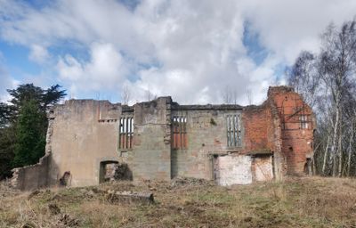
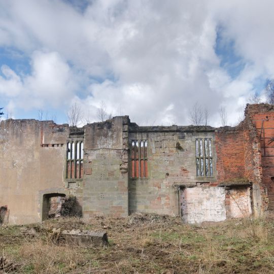
Beaudesert, English country house ruins in Longdon, Staffordshire, GB.

Beaudesert is the remains of a country house in Longdon, with surviving stone walls and architectural details from its original construction period. The site sits on the southern edge of Cannock Chase, and portions of the grounds serve as a Scout and Guide camp.

William Paget received this estate from Henry VIII in 1546 and expanded a royal hunting lodge into a major residence for his family. The property remained under the family's ownership for four centuries before changing hands.

The Paget family shaped this place over centuries, and their influence remains visible in how the ruins are arranged across the grounds. Walking through reveals how a grand household once organized its spaces and activities.

You can walk the grounds using marked pathways that pass the remaining walls and foundations. Keep in mind that part of the estate operates as an active camp, so it helps to check ahead before visiting.

The Grand Lodge built in 1814 still stands at the entrance on Horsey Lane and shows the architectural style of its era. This surviving gatehouse provides insight into how the estate was originally designed and accessed.

The community of curious travelers

AroundUs brings together thousands of curated places, local tips, and hidden gems, enriched daily by 60,000 contributors worldwide.
Start exploring
Location
GPS coordinates
52.71787,-1.92037
Latest update
September 17, 2026 22:08
Around this place
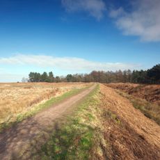
Castle Ring
United Kingdom

Castle Ring

0.7 mi
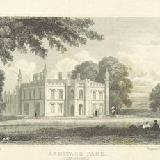
Armitage Park
United Kingdom

Armitage Park

2 mi
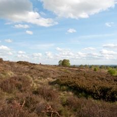
Gentleshaw Common
United Kingdom

Gentleshaw Common

1.4 mi
St Anne's Church
United Kingdom

St Anne's Church

2.6 mi
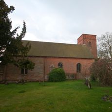
Church of St Michael
United Kingdom

Church of St Michael

1.9 mi
Church of St James
United Kingdom

Church of St James

1.8 mi
Church of St John
United Kingdom

Church of St John

2.4 mi
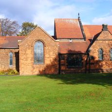
Armitage United Reform Church Chapel
United Kingdom

Armitage United Reform Church Chapel

2.3 mi
Church of St Bartholomew
United Kingdom

Church of St Bartholomew

2.1 mi
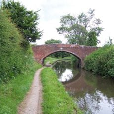
Trent And Mersey Canal Bridge Number 59 At Sk 0786 1642
United Kingdom

Trent And Mersey Canal Bridge Number 59 At Sk 0786 1642

2.6 mi
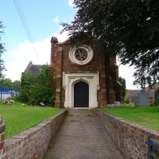
Christ Church
United Kingdom

Christ Church

0.9 mi
Chase Terrace and Boney Hay War Memorial
United Kingdom

Chase Terrace and Boney Hay War Memorial

2.2 mi
United Kingdom

Brown Memorial And Railed Enclosure Approximately 2 Metres North Of Nave Of Church Of St Bartholomew

2.1 mi
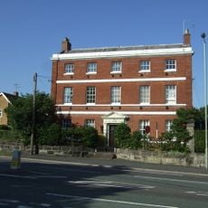
Brereton House
United Kingdom

Brereton House

1.8 mi
United Kingdom

Boundary Stone At Grid Reference Sk026164

2.7 mi
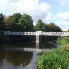
Mavesyn Ridware footbridge
United Kingdom

Mavesyn Ridware footbridge

2.5 mi
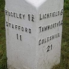
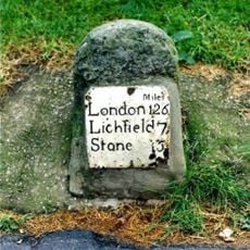
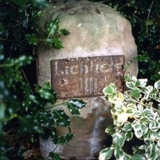
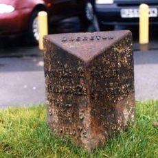
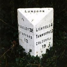
Milepost, traffic island south of Brereton
United Kingdom

Milepost, traffic island south of Brereton

1.6 mi
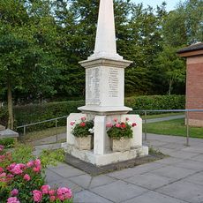
Brereton War Memorial
United Kingdom

Brereton War Memorial

1.8 mi
Mile Stone (1 Mile From Rugeley)
United Kingdom

Mile Stone (1 Mile From Rugeley)

2.5 mi
Milestone, Garden of Old Rectory, Church Lane, Mavesyn Ridware
United Kingdom

Milestone, Garden of Old Rectory, Church Lane, Mavesyn Ridware

2.7 mi
Milepost, SE of Mossley, Rugeley
United Kingdom

Milepost, SE of Mossley, Rugeley

2.3 mi
Milepost, St James' Close, Longdon Village
United Kingdom

Milepost, St James' Close, Longdon Village

1.6 mi
Milepost, between Armitage & Rugeley
United Kingdom

Milepost, between Armitage & Rugeley

2 mi
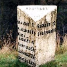
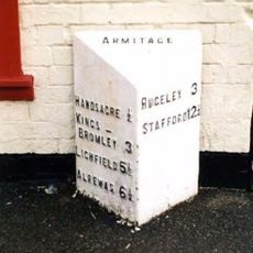
Milepost, Armitage
United Kingdom

Milepost, Armitage

2.3 mi
United Kingdom

Windmill Tower Approximately 50 Yards North West Of The Windmill Inn

0.9 mi
United Kingdom

Ashmall Memorial And Railed Enclosure Approximately 5 Metres East Of Chancel Of Church Of St Bartholmew

2.1 mi
United Kingdom

Armitage With Handsacre War Memorial

2.4 mi
United Kingdom

Sculpture

2.7 mi
Show the full map
Reviews
Share your experience

No review yet

Discussions
Start a discussion...

No discussion yet

« Beaudesert - English country house ruins in Longdon, Staffordshire, GB » is provided by Around Us (aroundus.com). Images and texts are derived from Wikimedia project under a Creative Commons license. You are allowed to copy, distribute, and modify copies of this page, under the conditions set by the license, as long as this note is clearly visible.

Discover hidden gems everywhere you go!

From secret cafés to breathtaking viewpoints, skip the crowded tourist spots and find places that match your style. Our app makes it easy with voice search, smart filtering, route optimization, and insider tips from travelers worldwide. Download now for the complete mobile experience.

Around Us App Screenshot
❝

A unique approach to discovering new places❞

— Le Figaro

❝

All the places worth exploring❞

— France Info

❝

A tailor-made excursion in just a few clicks❞

— 20 Minutes

Around Us
Travel Guide & Maps
Download

Send to your phone

QR Code
1

Open the camera app on your mobile.

2

Point at the QR code with your camera. A notification will appear.

3

Tap the notification to open the link.