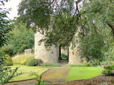
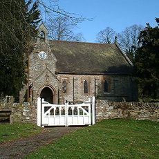
Brampton Bryan Castle, Medieval castle ruins in Brampton Bryan, Herefordshire, England.
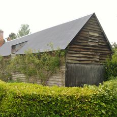
Brampton Bryan Castle is a medieval castle ruin in Herefordshire, England, located near the village of Brampton Bryan. The surviving structures include an outer gatehouse, sections of an inner gatehouse, and remains of the south wall that connected to the kitchen and great hall areas.
The castle was built in medieval times and became strategically important during the English Civil War in the 1600s. Its significance lay in controlling access to a key valley route, making it a focal point during the conflict between crown and parliament.
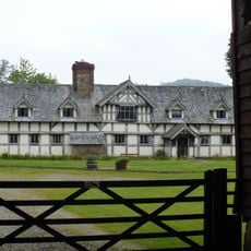
The ruins reflect the deep roots of the Harley family in this landscape, whose presence shaped the area over many centuries through ownership and stewardship. Their story remains woven into the local identity even today.
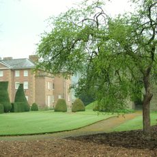
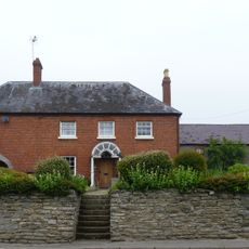
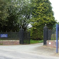
The ruins are located on private grounds near Brampton Bryan Hall and can be viewed from nearby public areas. Plan your visit for clear weather to fully appreciate the stonework and layout of the surviving structures.
The castle commanded a crucial valley passage that connected Ludlow to Knighton, making it a key position for controlling trade and movement through the region. Few visitors realize how this single location influenced centuries of territorial disputes and power struggles.
The community of curious travelers
AroundUs brings together thousands of curated places, local tips, and hidden gems, enriched daily by 60,000 contributors worldwide.