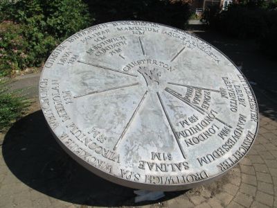
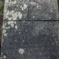
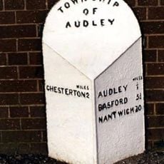
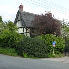
Chesterton, village in Newcastle-under-Lyme, Staffordshire, United Kingdom
The community of curious travelers
AroundUs brings together thousands of curated places, local tips, and hidden gems, enriched daily by 60,000 contributors worldwide.
Around Us is built for your phone — point your camera at the streets and discover the monuments and places around you in augmented reality. Around Us is built for your phone — chests unlock when you walk, explore and capture nearby places.
We need your location to show you interesting places around you
Find interesting locations and hidden gems around you
Get accurate directions and distances to places
Your location is never shared with other users. It's only used when you tap the location button.

The community of curious travelers
AroundUs brings together thousands of curated places, local tips, and hidden gems, enriched daily by 60,000 contributors worldwide.


No review yet
No discussion yet
From secret cafés to breathtaking viewpoints, skip the crowded tourist spots and find places that match your style. Our app makes it easy with voice search, smart filtering, route optimization, and insider tips from travelers worldwide. Download now for the complete mobile experience.

A unique approach to discovering new places❞
— Le Figaro
All the places worth exploring❞
— France Info
A tailor-made excursion in just a few clicks❞
— 20 Minutes
Open the camera app on your mobile.
Point at the QR code with your camera. A notification will appear.
Tap the notification to open the link.