
Kenley, district in the south of the London Borough of Croydon (historically in Surrey)
Location: London Borough of Croydon
GPS coordinates: 51.32420,-0.09690
Latest update: April 15, 2025 23:41

Riddlesdown Common
303 m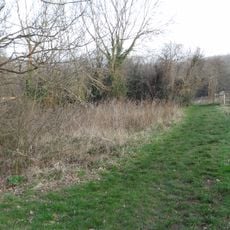
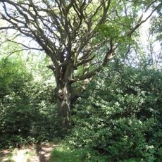
Foxley Wood
1.3 km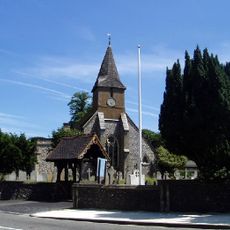
Church of All Saints
2 km
Purley Council Offices Including Attached Railings
2.2 km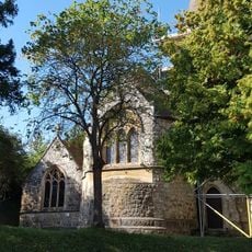
Church of All Saints
305 m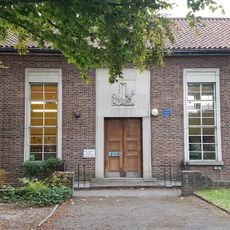
Purley Library
2.3 km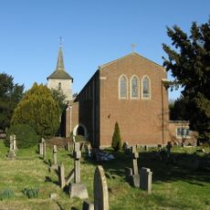
Church of St John the Evangelist
2.4 km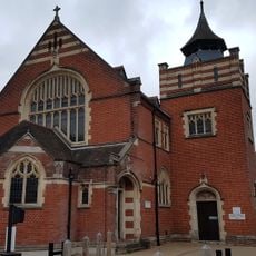
Purley United Reformed Church, Formerly Purley Congregational Church
2.2 km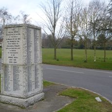
Woodcote War Memorial
3 km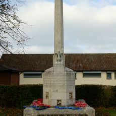
Old Coulsdon War Memorial
2.5 km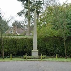
Promenade de Verdun War Memorial
3.1 km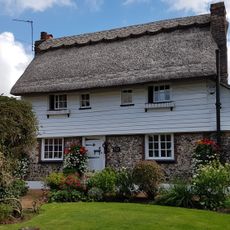
The Thatched Cottage
1.9 km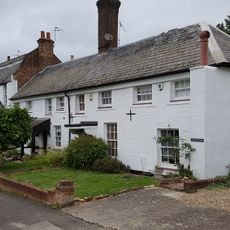
Purley Bury
2 km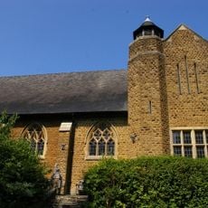
St. James' Riddlesdown
1 km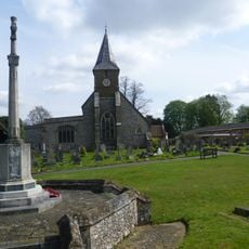
Sanderstead War Memorial
2 km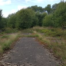
Group of four World War II fighter pens at the former airfield of RAF Kenley
2 km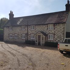
Court Cottage
2 km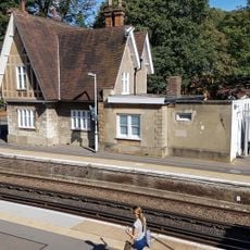
Kenley Station House (Original 1856 Building)
324 m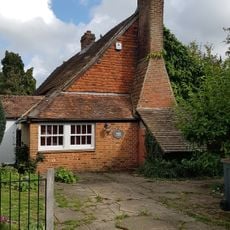
The Old Forge
1.1 km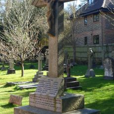
Whyteleafe War Memorial
2.1 km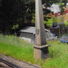
Coal Tax Post 1/4 Mile South Of Station At Ngr Tq 340581
2.4 km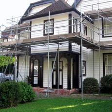
Fox Farm House
3 km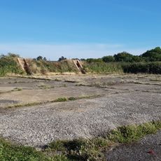
Group of seven World War II fighter pens at the former airfield of RAF Kenley
2 km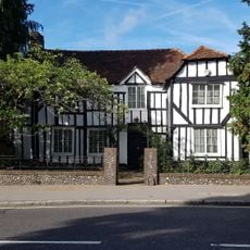
The White House
1.8 km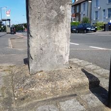
Milestone Outside Number 362
995 m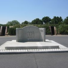
RAF Kenley Memorial
2.4 km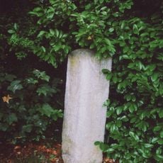
Milestone, Grounds of Purley Memorial Hospital
2.2 km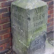
Milestone, Brighton Road, Coulsdon near Milestone Drive
2.2 kmVisited this place? Tap the stars to rate it and share your experience / photos with the community! Try now! You can cancel it anytime.
Discover hidden gems everywhere you go!
From secret cafés to breathtaking viewpoints, skip the crowded tourist spots and find places that match your style. Our app makes it easy with voice search, smart filtering, route optimization, and insider tips from travelers worldwide. Download now for the complete mobile experience.

A unique approach to discovering new places❞
— Le Figaro
All the places worth exploring❞
— France Info
A tailor-made excursion in just a few clicks❞
— 20 Minutes