
Lickey, village in United Kingdom
Location: Lickey and Blackwell
GPS coordinates: 52.37300,-2.00289
Latest update: March 8, 2025 08:44
St Laurence's Church, Northfield
5.1 km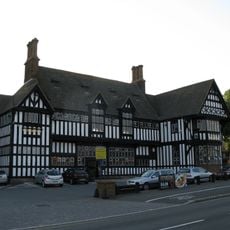
Black Horse
4.7 km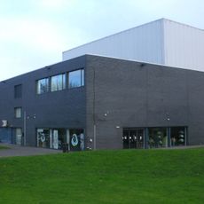
Artrix
5.1 km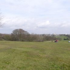
Cofton Park
1.4 km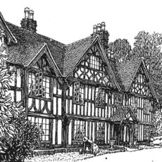
Barnt Green House
1.2 km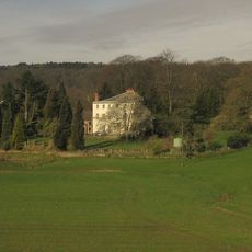
Cofton Hall
1.1 km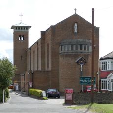
Our Lady and St Brigid's Church, Northfield
4.6 km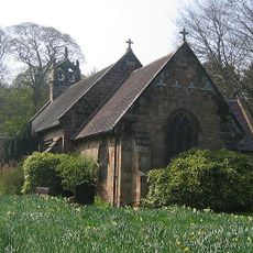
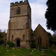
Church of St Michael, Cofton Hackett
1.3 km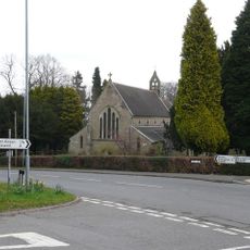
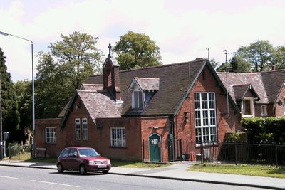
Holy Trinity Church, Lickey
515 m
St John the Baptist's Church, Longbridge
3.1 km
St Chad's Church, Rubery
2.5 km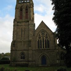
Church of All Saints
4.8 km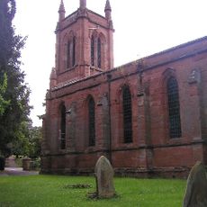
Christ Church
4.3 km
Church of St Catherine
2.8 km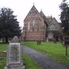
Church of St Laurence
3.8 km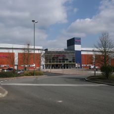
Empire Birmingham Great Park
2.8 km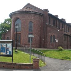
Church of St Andrew
1.7 km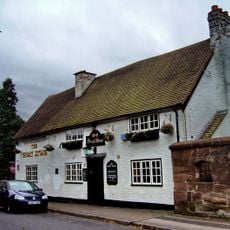
The Great Stone Public House
5.1 km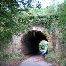
Blackwell Road Railway Under Bridge At Ngr So9884371537
3.6 km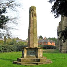
Bromsgrove All Saints' War Memorial
4.8 km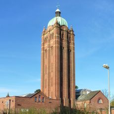
Water Tower At Hollymoor Hospital
3.5 km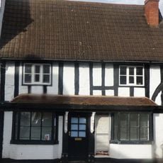
17, The Square
3.8 km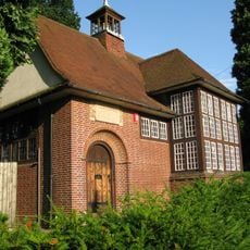
Old Rednal Library
2.1 km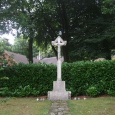
Lickey War Memorial
560 m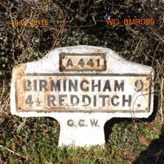
Milestone, Redditch Road, Arrowfield Top
3.1 km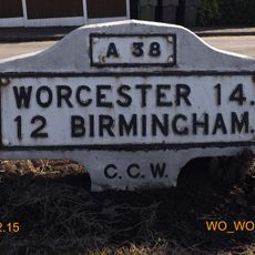
Milestone, Lickey End, S of M42 Jct 1
3.8 km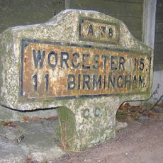
Milestone, Lower Marlbrook, N of M42 Jct 1
3.1 km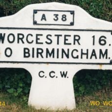
Milestone, Lydiate Ash, by "Hazlewood" No. 658, on "Old Birmingham Road"; now by-passed
2.6 kmReviews
Visited this place? Tap the stars to rate it and share your experience / photos with the community! Try now! You can cancel it anytime.
Discover hidden gems everywhere you go!
From secret cafés to breathtaking viewpoints, skip the crowded tourist spots and find places that match your style. Our app makes it easy with voice search, smart filtering, route optimization, and insider tips from travelers worldwide. Download now for the complete mobile experience.

A unique approach to discovering new places❞
— Le Figaro
All the places worth exploring❞
— France Info
A tailor-made excursion in just a few clicks❞
— 20 Minutes