Enable Location

We need your location to show you interesting places around you

Discover nearby places

Find interesting locations and hidden gems around you

Precise directions

Get accurate directions and distances to places

Your location is never shared with other users. It's only used when you tap the location button.

Log in to your account

Start exploring — it's free

Trusted by 65,126 travelers worldwide

Continue with Google
Continue with Apple
or

We will send you a code to connect

By continuing, you accept our Terms and Conditions and our Privacy Policy

Check your inbox

We've sent a pincode in your inbox. Please enter the code below.

London to Brighton Way
Discussion Reviews Photo
3.8k Popularity

London to Brighton Way, Roman road between London and Brighton, England

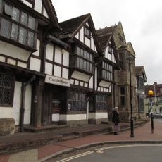
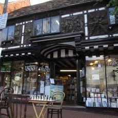
The London to Brighton Way is an ancient Roman road running through Surrey and West Sussex, following a nearly straight line from London toward the south coast. The route passes through towns such as Ardingly, Haywards Heath, and Burgess Hill, crossing a mix of woodland and open countryside.

The road was built during the Roman period to link London with the south coast, and its construction used slag from iron-working sites in the Weald to reinforce the roadbed. This use of local industrial waste shows how Roman engineers adapted their methods to what was available nearby.

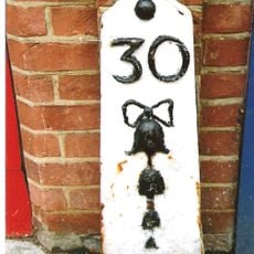
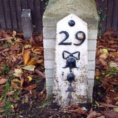
The place name Streatham in south London comes directly from this Roman road, showing how old routes left their mark on English geography. Travelers walking sections of the path today still pass through towns and villages whose names carry echoes of that same origin.

Between Kennington and Croydon in south London, the modern A23 follows the original Roman alignment and makes that stretch easy to trace. Further south, the path runs through woodland and open land, so sturdy footwear and a good map are useful before setting out.

The road is made up of four main alignments rather than one continuous straight line, with the longest section running between Felbridge and Clayton. This shows that Roman road builders adjusted their routes around natural features more than is commonly assumed.

The community of curious travelers

AroundUs brings together thousands of curated places, local tips, and hidden gems, enriched daily by 60,000 contributors worldwide.

Start exploring
Location
Location
GPS coordinates
51.14620,-0.04721
Latest update
March 3, 2026 14:02
Reviews
Share your experience

No review yet

Discussions
Start a discussion...

No discussion yet

« London to Brighton Way - Roman road between London and Brighton, England » is provided by Around Us (aroundus.com). Images and texts are derived from Wikimedia project under a Creative Commons license. You are allowed to copy, distribute, and modify copies of this page, under the conditions set by the license, as long as this note is clearly visible.

Discover hidden gems everywhere you go!

From secret cafés to breathtaking viewpoints, skip the crowded tourist spots and find places that match your style. Our app makes it easy with voice search, smart filtering, route optimization, and insider tips from travelers worldwide. Download now for the complete mobile experience.

Around Us App Screenshot

A unique approach to discovering new places

Le Figaro

All the places worth exploring

France Info

A tailor-made excursion in just a few clicks

20 Minutes

Around Us
Travel Guide & Maps
Download

Send to your phone

QR Code
1

Open the camera app on your mobile.

2

Point at the QR code with your camera. A notification will appear.

3

Tap the notification to open the link.