
Minsterworth, village and civil parish in Gloucestershire, United Kingdom
Location: Borough of Tewkesbury
GPS coordinates: 51.85113,-2.32951
Latest update: March 5, 2025 18:55

Severn bore
212 m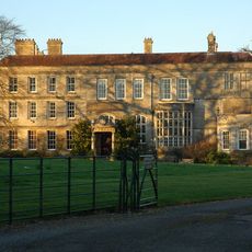
Elmore Court
1.9 km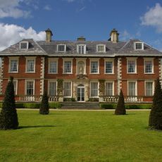
Highnam Court
3 km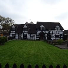
Little Thatch
4.5 km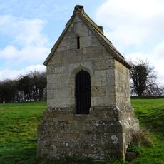
Our Lady's Well
4.1 km
Church of St James
4.4 km
Church of St John the Baptist
2.2 km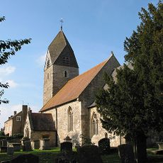
Church of St Andrew
1.3 km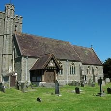
Church of St Peter
86 m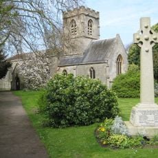
Church of St Swithun
4 km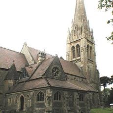
Church of the Holy Innocents
3.4 km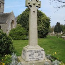
War Memorial in St Swithun's Churchyard
4 km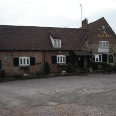
The Apple Tree
1.5 km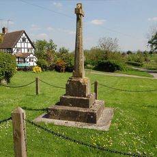
Elmore War Memorial
2.1 km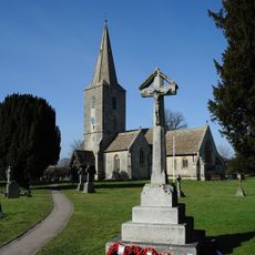
Quedgeley War Memorial
4.4 km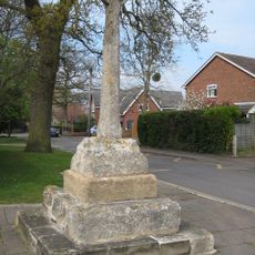
Hempsted village cross
4.1 km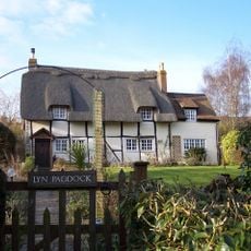
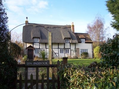
Lyn Paddock
120 m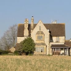
Old Rectory
3.6 km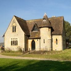
Church Lodge
3.5 km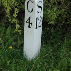
Milepost At National Grid Reference So 796 137
3.9 km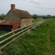
The Fishing House
1.7 km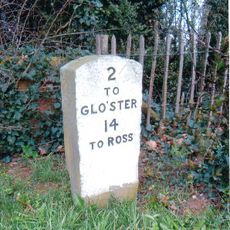
Milestone, About 45M East Of Roundabout At Junction With A48
3.1 km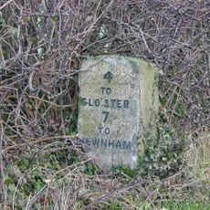
Milestone, About 50M South Of Drive To Hygrove House
326 m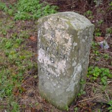
Milestone, About 110 Metres East Of Oakle Street
1.2 km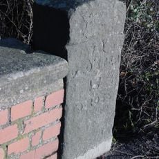
Milestone By Bridge, Approximately 100 Metres West Of Beauchamp House
2.1 km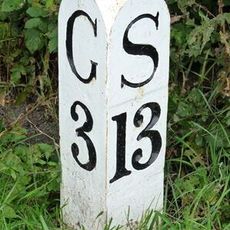
Milepost At National Grid Reference So 802 148
3.6 km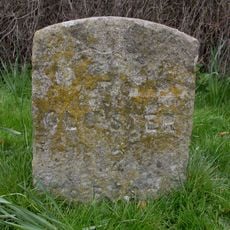
Milestone, Opposite Queen's Farm
2 km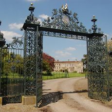
Gateway to south of Elmore Court
2 kmVisited this place? Tap the stars to rate it and share your experience / photos with the community! Try now! You can cancel it anytime.
Discover hidden gems everywhere you go!
From secret cafés to breathtaking viewpoints, skip the crowded tourist spots and find places that match your style. Our app makes it easy with voice search, smart filtering, route optimization, and insider tips from travelers worldwide. Download now for the complete mobile experience.

A unique approach to discovering new places❞
— Le Figaro
All the places worth exploring❞
— France Info
A tailor-made excursion in just a few clicks❞
— 20 Minutes