Plover Hill, Mountain summit in Yorkshire Dales National Park, England
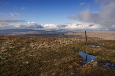
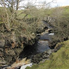
Plover Hill is a mountain summit in the Yorkshire Dales that rises to 680 meters. It sits between the Hesleden Beck valley and Foxup Beck valley, connected by elevated terrain to nearby peaks.
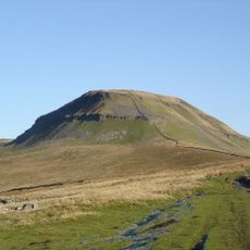
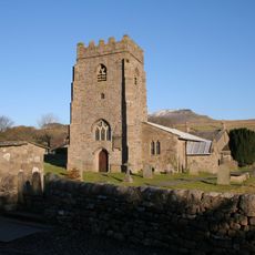
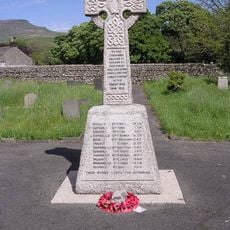
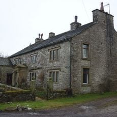
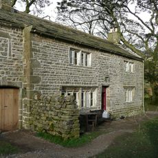
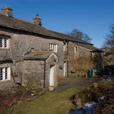
The Yorkshire Dales region formed through geological processes over millions of years, creating layers of limestone and millstone grit. Human settlement and land use in the area developed gradually over centuries.
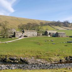
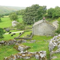
Local farmers maintain traditional sheep grazing practices on Plover Hill's slopes, preserving centuries-old agricultural methods of Yorkshire Dales.
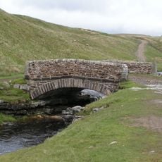
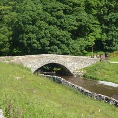
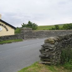
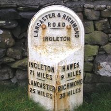
You can reach this summit through several walking routes, including paths from Horton in Ribblesdale and Foxup Road. Good footwear is recommended as terrain can be steep and wet depending on recent weather.
The summit has a flat plateau that offers clear views across both surrounding valleys. This level top is unusual in this hilly terrain and makes the location easy to reach.
Elevation above the sea: 680 m
Part of: Yorkshire Dales
GPS coordinates: 54.17239,-2.23237
Latest update: December 14, 2025 17:02
Pen-y-ghent
2.1 km
Alum Pot
7.4 km
Long Churn Cave
7.6 km
St Peter's Church, Stainforth
8.4 km
Yockenthwaite small stone circle
6.5 km
Giants’ Graves
2 km
Church of St Michael and All Angels
8.3 km
Church of St Oswald
5 km
The George Inn
8.2 km
Ling Ghyll Bridge
5.9 km
Yockenthwaite Bridge
6.7 km
Helwith Bridge
6.8 km
New Inn Bridge
4.9 km
Bridge Over River Wharfe
8.2 km
Boundary Stone West Of Churn Milk Hole
3.6 km
Horton in Ribblesdale War Memorial
5 km
Milestone
8.3 km
Yockenthwaite Hall With Attached Outbuilding And Garden Wall And Gate To Front
6.8 km
Boundary Stone 300 Metres North-West Of Sunny Bank Barn
7.5 km
Footbridge Over Thorn Gill (At Ngr 777794)
8.3 km
Ulfkill cross base, Malham Moor
3.8 km
Boundary Stone At Ngr 8241 6923
6.5 km
Scar House
8.1 km
Shaws Farmhouse
6.5 km
Boundary Stone About 500 Metres East South East Of Far End Barn
7.7 km
Cowside House With Attached Outbuilding
5.9 km
Top Farmhouse
6.6 km
Boundary Stone
6.5 kmVisited this place? Tap the stars to rate it and share your experience / photos with the community! Try now! You can cancel it anytime.
Discover hidden gems everywhere you go!
From secret cafés to breathtaking viewpoints, skip the crowded tourist spots and find places that match your style. Our app makes it easy with voice search, smart filtering, route optimization, and insider tips from travelers worldwide. Download now for the complete mobile experience.
A unique approach to discovering new places❞
— Le Figaro
All the places worth exploring❞
— France Info
A tailor-made excursion in just a few clicks❞
— 20 Minutes