Pen-y-ghent, Mountain summit in Yorkshire Dales National Park, England
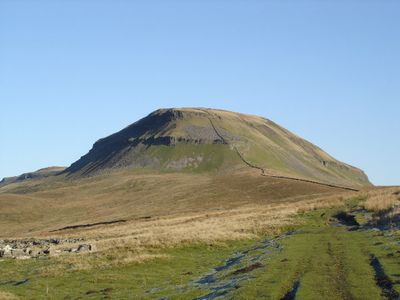
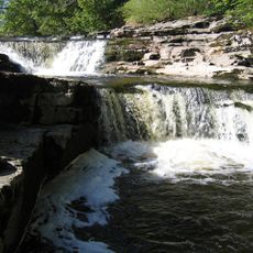
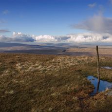
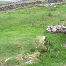
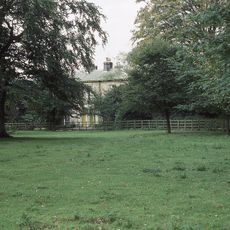
Pen-y-ghent is a limestone mountain in Yorkshire Dales National Park reaching 694 meters with steep slopes and a distinctive shape visible from surrounding valleys. The summit offers views across the parkland and the footpaths that approach it pass through moorland and grassland.
The name comes from Old Welsh language elements, with 'pen' meaning top or head, reflecting Celtic influences on northern England's geography. This linguistic origin shows the historical connection of this region to Wales and its earlier inhabitants.
The mountain is part of the Yorkshire Three Peaks challenge alongside Ingleborough and Whernside, attracting thousands of walkers yearly. This route has become embedded in the outdoor culture of the region and connects three summits into a recognized hiking experience.
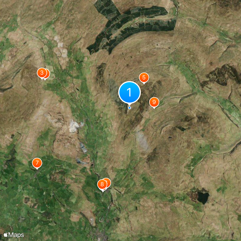
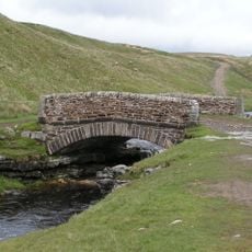
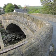
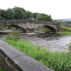
Hikers can reach the summit via marked trails starting from Horton in Ribblesdale where parking is available in the village. The paths are slippery during wet months and weather can change quickly, so sturdy footwear and a windproof jacket are essential.
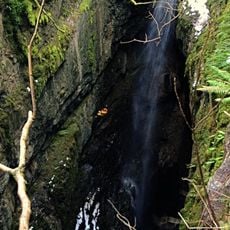
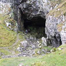
On the western side lies Hull Pot, England's largest natural sinkhole measuring about 91 meters long and 18 meters deep. This geological feature is one of the country's biggest naturally formed depressions and often escapes visitors' notice during their climb.
The community of curious travelers
AroundUs brings together thousands of curated places, local tips, and hidden gems, enriched daily by 60,000 contributors worldwide.