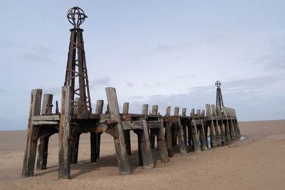
St Anne's Pier, Victorian pier in St Annes, England
St Anne's Pier is a Victorian structure made of cast iron and wood that stretches about 600 feet into the sea. Glass shelters line its length, offering views toward the Ribble estuary and the coast beyond.
The pier opened in 1885 and originally served steamship routes to nearby towns like Blackpool and Liverpool. Major fires in the 1970s and 1980s led to its current shortened length.
The entrance building holds newspaper clippings that tell the story of the pier's place in this Lancashire coastal community over many decades. Visitors can read how locals have used and remembered this structure through different periods.
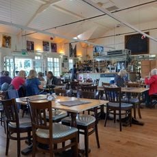
The pier is open year-round, with extended hours during summer when the weather is warmer. Visitors can enjoy restaurants, shops, and rides for children spread across its length.
Two major fires, one in 1974 and another in 1982, reduced the pier by more than a third of its original length. These events permanently shaped what visitors see today.
Location: St Annes
GPS coordinates: 53.74960,-3.03510
Latest update: December 10, 2025 20:04
Royal Lytham & St Annes Golf Club
1.4 km
St Anne's Church, St Anne's-on-the-Sea
1.1 km
St Thomas' Church, St Anne's-on-the-Sea
746 m
Burlingtons Bar
328 m
Lifeboat Monument, St Annes
109 m
St Anne's Library
625 m
Lytham St Annes Town Hall
100 m
St Anne's Public Offices
196 m
Ashton Gardens
447 m
Fairhaven United Reformed Church
3.2 km
Roman Catholic Church of St Joseph
3 km
Ansdell Baptist Church
3.3 km
Drive Methodist Church, Reading Room, Former School-Chapel, And Wall, Gateposts And Railings
358 m
Grand Hotel With Front Garden Wall
642 m
Ashton Gardens
444 m
Former St Annes College Of Further Education
653 m
Estate Boundary Wall To South And West Of Lytham Hall, With Gateway At Hey Houses
3.5 km
South Boundary Wall To Fairlawn (Not Included) And Its West Continuation To Fosbrooke House
3.8 km
War Memorial
390 m
Dovecote To North West Of Lytham Hall (In Woods Behind Stables)
3.8 km
Midland Bank
386 m
Ansdell Institute
2.9 km
Octagonal Pavilion Approximately 130 Metres South East St Annes Pier
145 m
1 and 2, Fishers Lane
3.7 km
Lychgate And Boundary Wall To Churchyard Of Church Of St Anne
1 km
Bandstand Approximately 70 Metres South East Of St Annes Pier
80 m
Queen Mary School
1.7 km
Milestone, Blackpool Road, Ansdell; by No. 9
3.4 kmVisited this place? Tap the stars to rate it and share your experience / photos with the community! Try now! You can cancel it anytime.
Discover hidden gems everywhere you go!
From secret cafés to breathtaking viewpoints, skip the crowded tourist spots and find places that match your style. Our app makes it easy with voice search, smart filtering, route optimization, and insider tips from travelers worldwide. Download now for the complete mobile experience.
A unique approach to discovering new places❞
— Le Figaro
All the places worth exploring❞
— France Info
A tailor-made excursion in just a few clicks❞
— 20 Minutes