Enable Location

We need your location to show you interesting places around you

Discover nearby places

Find interesting locations and hidden gems around you

Precise directions

Get accurate directions and distances to places

Your location is never shared with other users. It's only used when you tap the location button.

Baugh Fell

Log in to your account

Start exploring — it's free

Trusted by 62,863 travelers worldwide

Continue with Google
Continue with Apple
or

We will send you a code to connect

By continuing, you accept our Terms and Conditions and our Privacy Policy

Check your inbox

We've sent a pincode in your inbox. Please enter the code below.

Baugh Fell

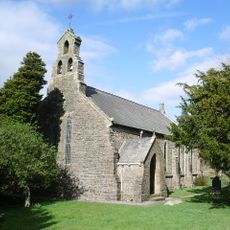
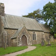
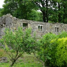
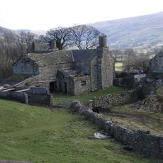
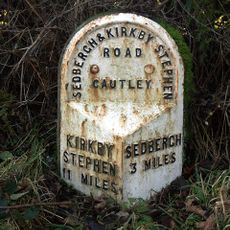
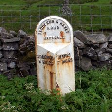
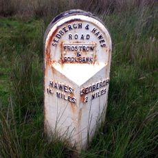
Baugh Fell, Fell in Garsdale, England.

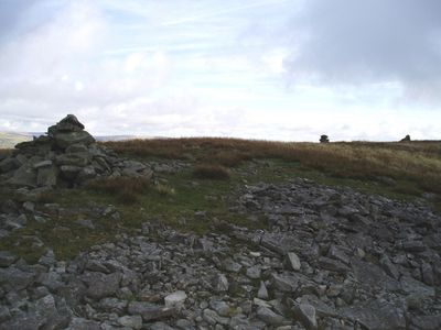
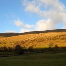
Baugh Fell is a fell in Garsdale with a broad L-shaped summit plateau that stretches across several kilometers. The slopes are formed by sandstone and limestone rock, with the highest point rising to 678 meters.

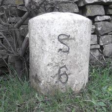
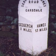
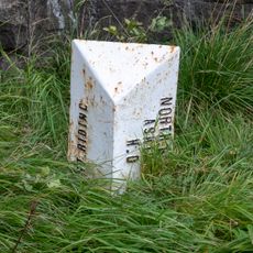
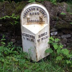
This fell was part of the West Riding of Yorkshire until administrative changes in 1974 shifted it into Cumbria. The boundary adjustment reflected broader reorganizations of local government across northern England.

The fell contains six small lakes, with five East Tarns on the eastern section and one West Tarn hidden in a depression at the northwestern end.

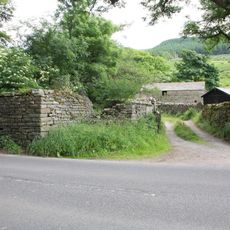
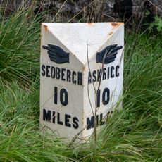
Walkers can start from the car park at Tom Croft Hill along the A684 road and should prepare for a demanding walk. The route is long and exposed, so sturdy footwear and weatherproof clothing are recommended.

Several small lakes dot the summit plateau, including the East Tarns scattered across the eastern side and the hidden West Tarn tucked into a depression to the northwest. These water features are natural gathering points that contrast with the bare rock and moorland around them.

The community of curious travelers

AroundUs brings together thousands of curated places, local tips, and hidden gems, enriched daily by 60,000 contributors worldwide.

Start exploring
Location
Elevation above the sea
678 m
GPS coordinates
54.31977,-2.40044
Latest update
December 14, 2025 12:20
Around this place
Dandrymire Viaduct
United Kingdom

Dandrymire Viaduct

5.3 km
St John the Evangelist's Church, Cowgill
United Kingdom

St John the Evangelist's Church, Cowgill

5 km
Uldale Force
United Kingdom

Uldale Force

4.1 km
Church of St John the Baptist
United Kingdom

Church of St John the Baptist

2.2 km
Church of St Mark
United Kingdom

Church of St Mark

5.7 km
Wesleyan Methodist Church
United Kingdom

Wesleyan Methodist Church

5.7 km
Ewegales Bridge
United Kingdom

Ewegales Bridge

5 km
Dandra Garth
United Kingdom

Dandra Garth

2.3 km
Garsdale Milestone Immediately East Of Boundary Marker
United Kingdom

Garsdale Milestone Immediately East Of Boundary Marker

5.4 km
Passenger Waiting Room On East Side Of Railway Track At Dent Station
United Kingdom

Passenger Waiting Room On East Side Of Railway Track At Dent Station

4.8 km
East Rackenthwaite And Adjoining Barn
United Kingdom

East Rackenthwaite And Adjoining Barn

1.6 km
Gibbs Hall
United Kingdom

Gibbs Hall

5.3 km
Milestone (Sedbergh 8) Approximately 200 Metres East Of Broadfield Lane On South Side Of Road
United Kingdom

Milestone (Sedbergh 8) Approximately 200 Metres East Of Broadfield Lane On South Side Of Road

5.2 km
Milestone (Sedbergh 4) Approximately 20 Metres West Of Bellow Hill Turn
United Kingdom

Milestone (Sedbergh 4) Approximately 20 Metres West Of Bellow Hill Turn

2.5 km
High Hall Farmhouse Including Cartshed
United Kingdom

High Hall Farmhouse Including Cartshed

5.5 km
Milestone (Sedbergh 7) Approximately 170 Metres West Of Sundial Cottage
United Kingdom

Milestone (Sedbergh 7) Approximately 170 Metres West Of Sundial Cottage

5.3 km
Garsdale Signal Box
United Kingdom

Garsdale Signal Box

4.8 km
Milestone (Sedbergh 8) Approximately 5 Metres East Of Scar Foot Bridge
United Kingdom

Milestone (Sedbergh 8) Approximately 5 Metres East Of Scar Foot Bridge

3.3 km
Moorcock Road railway bridge
United Kingdom

Moorcock Road railway bridge

5.4 km
Milestone (Sedbergh 3) To East Of Steps End
United Kingdom

Milestone (Sedbergh 3) To East Of Steps End

5.8 km
Milestone (Sedbergh 9) Approximately 250 Metres East Of Harding Bridge (Not Included)
United Kingdom

Milestone (Sedbergh 9) Approximately 250 Metres East Of Harding Bridge (Not Included)

4.3 km
Milestone approximately 100 metres east of Low Branthwaites on Hawes Road
United Kingdom

Milestone approximately 100 metres east of Low Branthwaites on Hawes Road

5.4 km
Milestone (Sedbergh 9) On South Side Of Road Approximately 50 Metres South West Of Cowgill Bridge
United Kingdom

Milestone (Sedbergh 9) On South Side Of Road Approximately 50 Metres South West Of Cowgill Bridge

5 km
Milestone (Sedbergh 6) Approximately 5 Metres West Of Hallbank Lane
United Kingdom

Milestone (Sedbergh 6) Approximately 5 Metres West Of Hallbank Lane

5.3 km
Milestone (Sedbergh 3) Approximately 10 Metres East Of Nether House (Not Included)
United Kingdom

Milestone (Sedbergh 3) Approximately 10 Metres East Of Nether House (Not Included)

3.9 km
Garsdale Boundary Marker At Country Boundary Of North Yorkshire And Cumbria
United Kingdom

Garsdale Boundary Marker At Country Boundary Of North Yorkshire And Cumbria

5.4 km
Milestone (Sedbergh 6) Approximately 75 Metres West Of Kirk Bridge
United Kingdom

Milestone (Sedbergh 6) Approximately 75 Metres West Of Kirk Bridge

2.1 km
Milestone (Sedbergh 7) Approximately 10 Metres West Of East Little Town
United Kingdom

Milestone (Sedbergh 7) Approximately 10 Metres West Of East Little Town

2.5 km
Show the full map
« Baugh Fell - Fell in Garsdale, England » is provided by Around Us (aroundus.com). Images and texts are derived from Wikimedia project under a Creative Commons license. You are allowed to copy, distribute, and modify copies of this page, under the conditions set by the license, as long as this note is clearly visible.

Discover hidden gems everywhere you go!

From secret cafés to breathtaking viewpoints, skip the crowded tourist spots and find places that match your style. Our app makes it easy with voice search, smart filtering, route optimization, and insider tips from travelers worldwide. Download now for the complete mobile experience.

Around Us App Screenshot

A unique approach to discovering new places

Le Figaro

All the places worth exploring

France Info

A tailor-made excursion in just a few clicks

20 Minutes

Around Us
Travel Guide & Maps
Download

Send to your phone

QR Code
1

Open the camera app on your mobile.

2

Point at the QR code with your camera. A notification will appear.

3

Tap the notification to open the link.