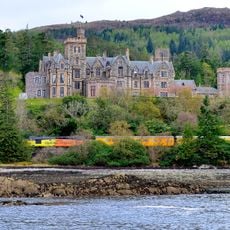
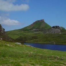
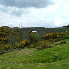
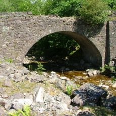
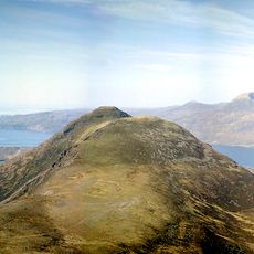
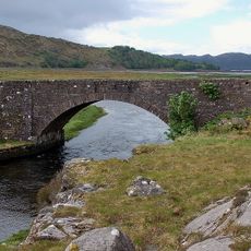
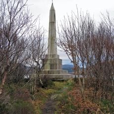
Bealach na Bà, Mountain pass in Highland, Scotland
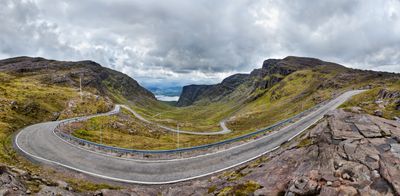
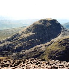
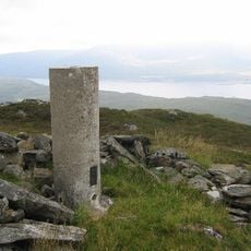
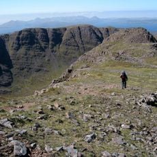
Bealach na Bà is a mountain pass road that cuts through the Applecross peninsula with tight hairpin turns and reaches 626 meters elevation. The single-track route winds through rugged terrain with steep sections and sharp bends that demand full attention from drivers.
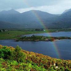
This mountain passage was built in 1822 to create a route for drovers moving livestock across different parts of the Scottish Highlands. The road opened up the remote Applecross area by connecting it to trade routes and other settlements.
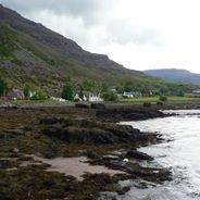
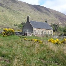
The name comes from Scottish Gaelic, meaning Pass of the Cattle, reflecting how livestock herding shaped life in these mountains. Walking the road today, you still feel the connection to this pastoral heritage that defined the region for centuries.
The narrow single-track road requires careful driving, especially during winter when snow and ice create hazardous conditions. Check weather before you go and try to travel during daylight hours, as good visibility helps on this demanding route.
This road holds some of the steepest gradients in the United Kingdom, with sections reaching about 20 percent incline that make it one of Britain's most demanding drives. Many drivers find the psychological challenge of navigating the steepest stretches quite intense, particularly when meeting traffic head-on.
Location: Highland
Elevation above the sea: 626 m
GPS coordinates: 57.43278,-5.75250
Latest update: December 17, 2025 11:20
The Scottish Highlands span thousands of square miles in northern Scotland, offering striking landscapes of mountains, jagged coastlines, and remote lakes. This region retains villages that only recently gained road access, such as Rhenigidale on Harris Island, connected to the rest of the island in...
Skye Bridge
17.1 km
Duncraig Castle
12.7 km
Loch Torridon
16.4 km
Strome Castle
14.4 km
Loch Carron
15.9 km
Hallaig
16.9 km
Sand, Applecross
8 km
Beinn Bhàn
5.5 km
An Ruadh-stac
17.7 km
Bad a' Chreamha
13.3 km
Falls of Balgy
13.8 km
Brochel Castle
16.5 km
Dùn Caan
17.6 km
Plockton, Innes Street, Plockton Church
12.2 km
Beinn a' Chlachain
5.4 km
Kyleakin Lighthouse
17.3 km
Applecross, Parish Church
3.8 km
Eilean a'Chait Lighthouse
11.4 km
Upper Loch Torridon
15.9 km
Meall Gorm
4.5 km
Bridge, Duirinish
13.6 km
Tornapress Bridge
9.2 km
Sgurr na Bana Mhoraire
14.7 km
Bridge, Drochaid Mhor
8.8 km
Colonel Murchison's Monument
17.6 km
Applecross, Parish Church, Churchyard
3.8 km
Lower Diabaig, Pier
16.3 km
Eilean Ban, Kyleakin Lighthouse, Keepers' Houses
17.2 kmVisited this place? Tap the stars to rate it and share your experience / photos with the community! Try now! You can cancel it anytime.
Discover hidden gems everywhere you go!
From secret cafés to breathtaking viewpoints, skip the crowded tourist spots and find places that match your style. Our app makes it easy with voice search, smart filtering, route optimization, and insider tips from travelers worldwide. Download now for the complete mobile experience.
A unique approach to discovering new places❞
— Le Figaro
All the places worth exploring❞
— France Info
A tailor-made excursion in just a few clicks❞
— 20 Minutes