
Wheatfield, civil parish in South Oxfordshire, England
Location: South Oxfordshire
Shares border with: Great Haseley, Stoke Talmage, Lewknor, Adwell, Tetsworth
GPS coordinates: 51.69700,-1.00000
Latest update: March 7, 2025 12:00
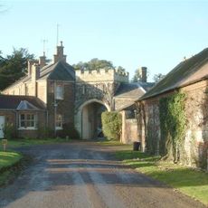
Shirburn Castle
4.3 km
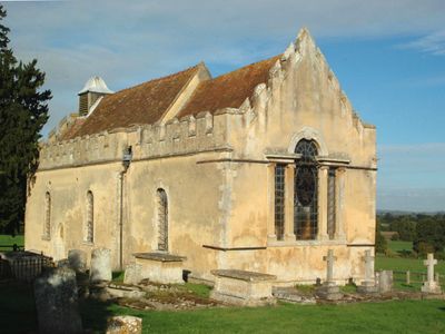
Adwell House
791 m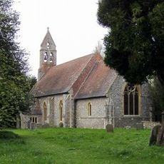
St Mary's Church, Pyrton
4.6 km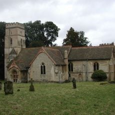
All Saints Church, Shirburn
4.4 km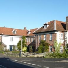
The Swan
1.6 km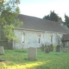
Church of St Peter
4.4 km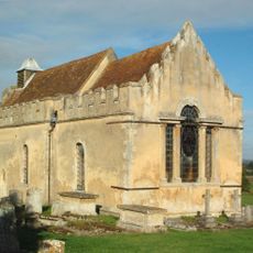
Church of St Andrew
1.1 km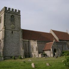
Church of St Margaret, Lewknor
3.5 km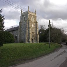
Church of St Peter and St Paul, Aston Rowant
3.7 km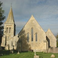
Church of St Giles
1.4 km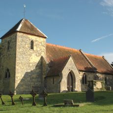
Church of St Mary Magdalen
1.7 km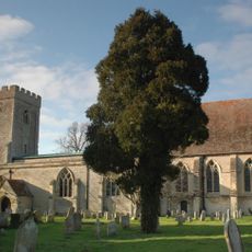
Church of St Peter
5 km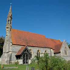
Church of St Mary
822 m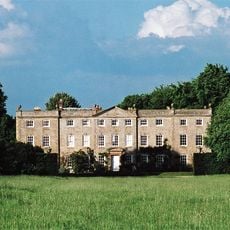
Haseley Court
4.7 km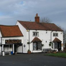
Ye Olde Leathern Bottle Public House
3.5 km
Attington Toll House
1.1 km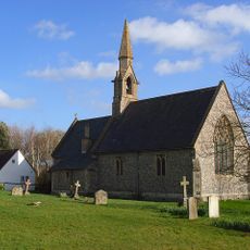
St Lawrence
2.1 km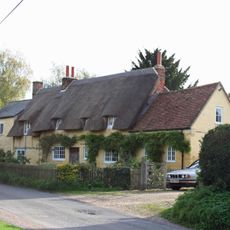
The Plough Inn Public House
4.2 km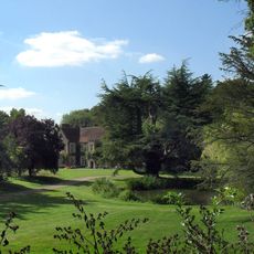
Pyrton Manor
4.7 km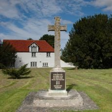
Aston Rowant War Memorial
3.7 km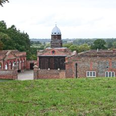
Wheatfield Park Coach House, Stables And Farmhouse
1.1 km
1-7, Blenheim Road
4.5 km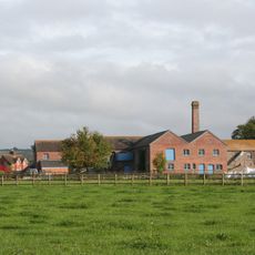
Model Farm, Engine House And Attached Buildings Approximately 15 Metres South South West Of Farmhouse
3.2 km
Hampden Cottage Manor Lodge
4.7 km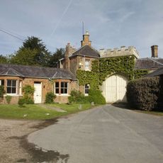
Gatehouse Approximately 85 Metres South Of Shirburn Castle
4.4 km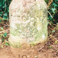
Milestone Approximately 500 Metres North Of Lobb Farmhouse
4 km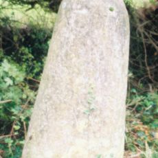
Milestone At Sp 6786 0246
2.6 km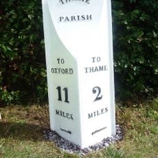
Milepost, Rycote Lane; N side of entrance to Oxfordshire Golf Club, Lobbersdown Hill
4.3 kmVisited this place? Tap the stars to rate it and share your experience / photos with the community! Try now! You can cancel it anytime.
Discover hidden gems everywhere you go!
From secret cafés to breathtaking viewpoints, skip the crowded tourist spots and find places that match your style. Our app makes it easy with voice search, smart filtering, route optimization, and insider tips from travelers worldwide. Download now for the complete mobile experience.

A unique approach to discovering new places❞
— Le Figaro
All the places worth exploring❞
— France Info
A tailor-made excursion in just a few clicks❞
— 20 Minutes