
Longsdon, village and civil parish in Staffordshire, England
Location: Staffordshire Moorlands
GPS coordinates: 53.08950,-2.05794
Latest update: March 2, 2025 23:38
Caldon Canal
1.4 km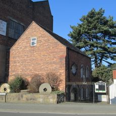
Brindley Water Mill
2.7 km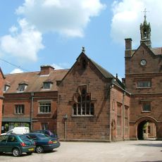
Westwood Hall
1.6 km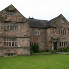
The Ashes
3.1 km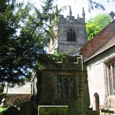
Church of St Michael
3.3 km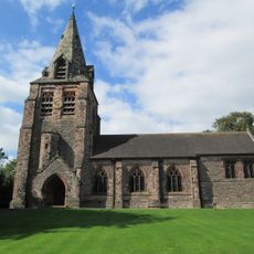
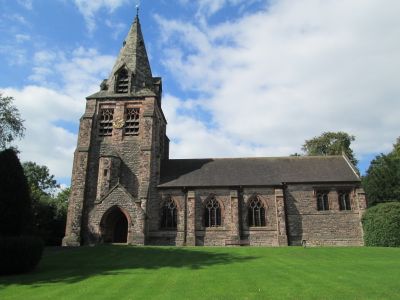
Church of St Chad
323 m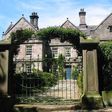
Horton Hall
3.5 km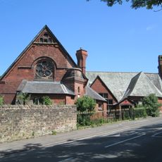
St John's Mission Room
2.7 km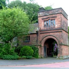
Arch Lodge
1.9 km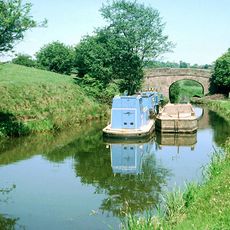
Bridge over canal (Wall Grange Farm) at NGR SJ 980 549
1.8 km
Public Conveniences
2.7 km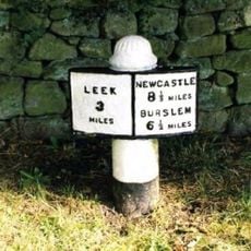
Milepost, Leek 3 Miles
1.4 km
Society of Friends Meeting House
2.7 km
9-12, Overton Bank
2.7 km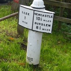
Mile post at NGR SJ 973 551
1.2 km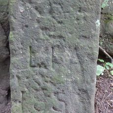
Boundary stone at NGR SJ 972 573
2.8 km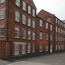
Wellington Mill
2.5 km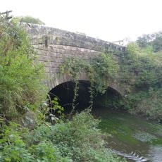
Barnfields Canal Aqueduct at NGR SJ 979 551
1.7 km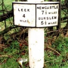
Milepost At Sj 933 541
2.9 km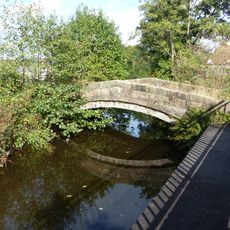
Footbridge over River Churnet
2.8 km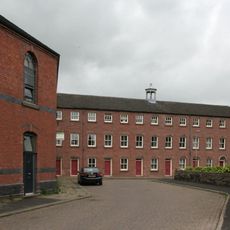
Albion Mill
2.6 km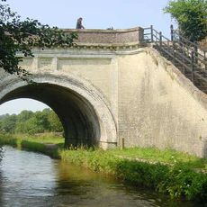
Hazlehurst Aqueduct
1.3 km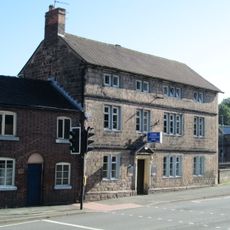
Conservative Working Mens Club
2.7 km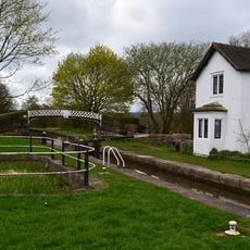
Footbridge At Sj 947 537
1.7 km
The Big Mill
2.7 km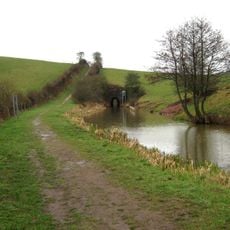
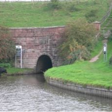
East tunnel entrance on Leek Arm of Caldon Canal
1.4 km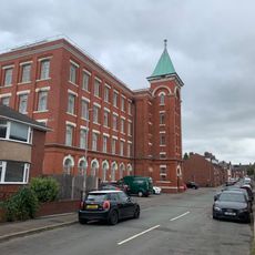
Waterloo Mill
2.4 km
Front boundary wall of The Big Mill
2.7 kmVisited this place? Tap the stars to rate it and share your experience / photos with the community! Try now! You can cancel it anytime.
Discover hidden gems everywhere you go!
From secret cafés to breathtaking viewpoints, skip the crowded tourist spots and find places that match your style. Our app makes it easy with voice search, smart filtering, route optimization, and insider tips from travelers worldwide. Download now for the complete mobile experience.

A unique approach to discovering new places❞
— Le Figaro
All the places worth exploring❞
— France Info
A tailor-made excursion in just a few clicks❞
— 20 Minutes