
St Anne's Limehouse, Anglican parish church in Limehouse, England.
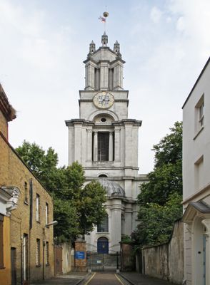
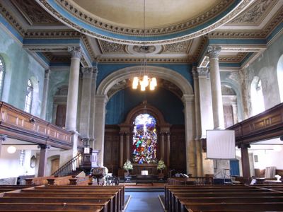
St Anne's Limehouse is an Anglican parish church in Limehouse designed by Nicholas Hawksmoor in the English Baroque style. The building features a distinctive stepped tower and large windows throughout that flood the interior with natural light.
The church was completed in 1730 as one of twelve new churches built under Queen Anne's 1711 Act of Parliament, funded through taxes on coal shipped on the Thames. This building program reflected the growing importance of the Limehouse riverside area.
The interior displays a battle ensign from HMS Ark Royal, maintaining strong connections with the Royal Navy through its rector's honorary chaplaincy role. This naval heritage remains visible in how the space is used and remembered by visitors today.
The church is best reached by Docklands Light Railway to Westferry station, a short walk away on Commercial Road. The location is easy to navigate and well-positioned for visitors exploring the waterfront area.
The church tower features London's highest clock and a golden ball at its peak, which once served as navigation markers for Thames river traffic. These distinctive features made the building easily recognizable to sailors and remain striking when viewed from the water.
Location: London Borough of Tower Hamlets
Location: London
Inception: 1712
Architects: Nicholas Hawksmoor
Architectural style: English Baroque
Address: Limehouse Parish Church St Anne, Limehouse, Tower Hamlets, London, E14
Website: http://london.anglican.org/ChurchShow_0714
GPS coordinates: 51.51169,-0.03029
Latest update: December 8, 2025 19:54
Limehouse Library
231 m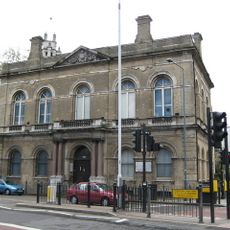
Limehouse Town Hall
92 m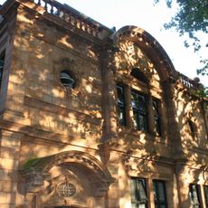
Limehouse Church Institute
67 m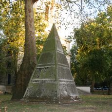
Pyramid Monument Approximately 25 Metres North West Of St Annes Limehouse Parish Church
50 m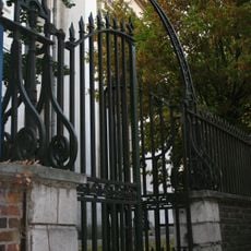
Church Yard Walls, Railings, Gates And Gate Piers At St Anne's Church
76 m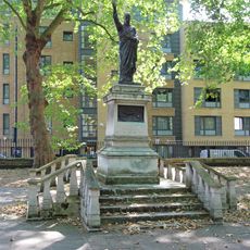
Limehouse War Memorial
47 m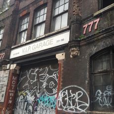
777-783, Commercial Road
111 m
Former Caird And Rayner Ltd Warehouse
113 m
Star Of The East Public House
121 m
799, Commercial Road E14
109 m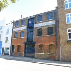
148-150, Narrow Street E14 8BP
299 m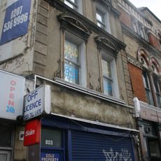
803, Commercial Road E14
114 m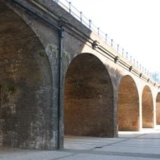
Railway Viaduct To North Of Regents Canal Dock
315 m
680, Commercial Road E14
111 m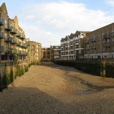
Limekiln Dock
322 m
8 Beccles Street and area railings
119 m
St Dunstan's Wharf
313 m
801, Commercial Road E14
112 m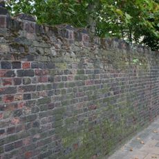
Garden Wall To Former St Anne's Rectory
164 m
British Sailors Society
111 m
815 And 817, Commercial Road E14
142 m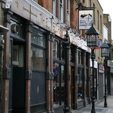
Three Lamp Standards On Pavement In Front Of No 805 And Star Of The East Public House
114 m
797, Commercial Road E14
106 m
811, Commercial Road E14
131 m
80, Three Colt Street E14
294 m
819 And 821, Commercial Road E14
148 m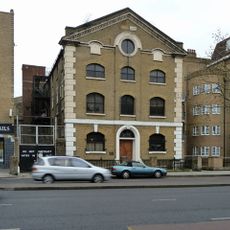
Sailmakers And Chandlers
204 m
Cockney Eel And Pie Shop
103 mVisited this place? Tap the stars to rate it and share your experience / photos with the community! Try now! You can cancel it anytime.
Discover hidden gems everywhere you go!
From secret cafés to breathtaking viewpoints, skip the crowded tourist spots and find places that match your style. Our app makes it easy with voice search, smart filtering, route optimization, and insider tips from travelers worldwide. Download now for the complete mobile experience.

A unique approach to discovering new places❞
— Le Figaro
All the places worth exploring❞
— France Info
A tailor-made excursion in just a few clicks❞
— 20 Minutes