
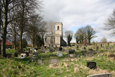
St John's Church, Throapham, Medieval church in Throapham, England.
St. John's Church is a medieval building in Throapham with a three-section layout, side aisles, and a limestone tower on the western end. The interior displays English Gothic style with upper windows that bring light into the main worship space.
The building dates to Anglo-Saxon times and went through multiple construction phases across the centuries. The western tower was added in the 15th century and the chancel area was rebuilt in 1709.
The octagonal font shows carvings that reflect how people in medieval times understood the world. These details offer a window into what mattered to worshippers back then.
The building is looked after by the Churches Conservation Trust and is not open on a regular basis. Visits must be arranged ahead of time through the local Community Officer using email or phone.
A stone coffin lid from the 14th century displays intricate carved foliage details that are split into two distinct sections. This rare piece remains preserved inside the building and shows the skill of medieval craftsmen.
Location: Dinnington St. John's
Inception: 12 century
Architectural style: English Gothic architecture
GPS coordinates: 53.38240,-1.21490
Latest update: December 14, 2025 18:43

Roche Abbey
3 km
Sandbeck Park
5.3 km
Lindrick Golf Club
5.5 km
Kiveton Hall
4.8 km
Church of St James
3.9 km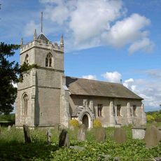
St Peter's Church, Letwell
3.7 km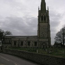
Church of All Saints
888 m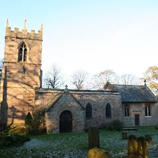
Church of St Peter and St Paul
4.3 km
Church of St Martin
4 km
St Bartholomew's Church, Maltby
4.3 km
Slade Hooton Hall
1.7 km
Hellaby Hall
5 km
Maltby War Memorial
4.1 km
Brookhouse Viaduct
1.6 km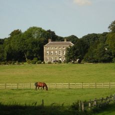
Thurcroft Hall
2.1 km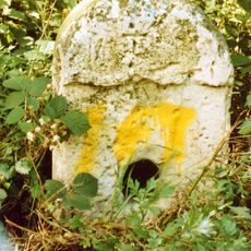
Milestone, nr entrance to Maltby Colliery
5 km
Remains Of Cross Approximately 3 Metres To West Of Number 22
1.9 km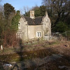
West Lodge (To Firbeck Hospital)
4.3 km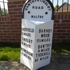
Milepost Opposite Junction With Addison Road
4.5 km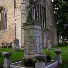
Laughton en le Morthen War Memorial
861 m
Milepost At East End Of Stone Green
4 km
Milestone, cut-off part of Worksop Road B6067 NW side jct 31 of M1
5.2 km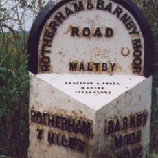
Milepost Approximately 30 Metres South Of Junction With Morrell Street
4.2 km
Milepost Approximately 35 Metres To East Of Entrance To Todwick Grange
4 km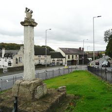
Market Cross Situated At Junction With Blyth Road
4.5 km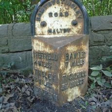
Milepost Approximately 50 Metres West Of Entrance To Maltby Colliery
5 km
Milepost Approximately 40 Metres To East Of Junction With Millindale
4.7 km
Milepost Approximately 160 Metres North West Of Junction With Gypsy Lane
3.4 kmVisited this place? Tap the stars to rate it and share your experience / photos with the community! Try now! You can cancel it anytime.
Discover hidden gems everywhere you go!
From secret cafés to breathtaking viewpoints, skip the crowded tourist spots and find places that match your style. Our app makes it easy with voice search, smart filtering, route optimization, and insider tips from travelers worldwide. Download now for the complete mobile experience.

A unique approach to discovering new places❞
— Le Figaro
All the places worth exploring❞
— France Info
A tailor-made excursion in just a few clicks❞
— 20 Minutes