Lindrick Golf Club, Golf club and protected natural site in South Yorkshire, United Kingdom.
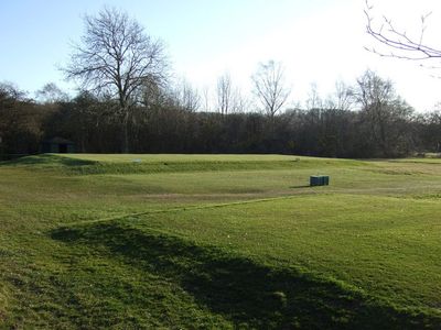
Lindrick Golf Club is an 18-hole course laid across heathland and moorland that sits on both sides of the A57 highway. Two tunnels connect the two halves of the course, allowing safe passages between the different groups of holes.
The club was founded in 1891 as Sheffield and District Golf Club and received its current name in 1934. In 1957 it hosted the Ryder Cup, one of golf's major competitions.
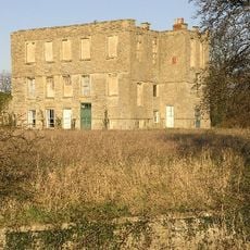
The club takes its name from the nearby Lindrick Moor, and many golfers appreciate how the sport sits within the natural landscape here.
The layout is divided into two sections, and clear signage helps you find the tunnels and navigate between holes. Ground conditions can vary with the season, so appropriate footwear is helpful.
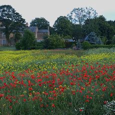
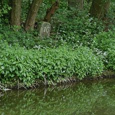
The site is protected as a Site of Special Scientific Interest and contains one of the region's largest limestone grassland areas. This protection shows how golf and nature conservation coexist here.
Website: http://lindrickgolfclub.co.uk
GPS coordinates: 53.33680,-1.18369
Latest update: December 9, 2025 18:47
Shireoaks Hall
2.1 km
Kiveton Hall
4.7 km
St John the Evangelist's Church, Carlton in Lindrick
4.6 km
St. John's Church, Worksop
5 km
St Luke's Church, Shireoaks
1.8 km
Church of St James
2.8 km
St. Anne's Church, Worksop
5.1 km
St Peter's Church, Letwell
4.8 km
Town Ground, Worksop
5.1 km
Church of All Saints
3.8 km
National Trust
5.1 km
Church of St Peter and St Paul
5 km
Church of St Peter
2.8 km
St Anne's War Memorial
5 km
1, High Road
4.7 km
Worksop East Signal Box
5 km
Remains Of Cross Approximately 3 Metres To West Of Number 22
3.7 km
Sundial Approximately 5 Metres To South East Of Porch To Church Of St Peter
2.8 km
Shireoaks War Memorial
1.8 km
Chesterfield Canal Canal Milestone Immediately To West Of Milestone Lock
1.2 km
Ruins Of Thorpe Salvin Hall
2.6 km
Carlton Mill
4.5 km
Gatehouse To Thorpe Salvin Hall
2.7 km
Chesterfield Canal Canal Milestone Approximately 260 Metres To South East Of Devil's Hole Bridge
2.1 km
Carlton In Lindrick War Memorial
4.8 km
Milestone, Carlton Road; Gateford Hill, N of jct with Edison Park Avenue
4.4 km
Manor Lodge
3.9 km
Milestone, Mansfield Road; by No. 232, nr bridle path to Rhodesia
4.7 kmVisited this place? Tap the stars to rate it and share your experience / photos with the community! Try now! You can cancel it anytime.
Discover hidden gems everywhere you go!
From secret cafés to breathtaking viewpoints, skip the crowded tourist spots and find places that match your style. Our app makes it easy with voice search, smart filtering, route optimization, and insider tips from travelers worldwide. Download now for the complete mobile experience.
A unique approach to discovering new places❞
— Le Figaro
All the places worth exploring❞
— France Info
A tailor-made excursion in just a few clicks❞
— 20 Minutes