
Aveley, town in Essex, United Kingdom
Location: Thurrock
Shares border with: South Ockendon, Purfleet-on-Thames, Rainham, Upminster
GPS coordinates: 51.50177,0.25339
Latest update: March 2, 2025 22:10
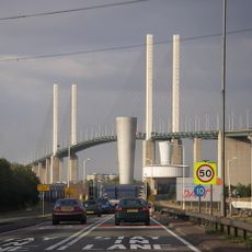
Dartford Crossing
4.2 km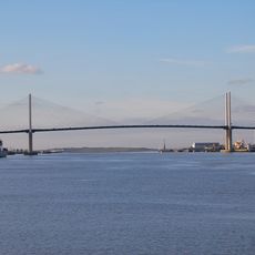
Queen Elizabeth II Bridge
4.2 km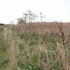
Rainham Marshes Nature Reserve
2.4 km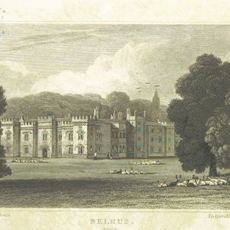
Belhus
1.4 km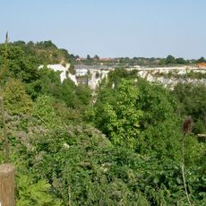
Chafford Gorges Nature Park
3.5 km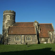
Church of St Nicholas
3.8 km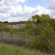
Purfleet Chalk Pits
2.1 km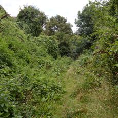
Lion Pit
4.1 km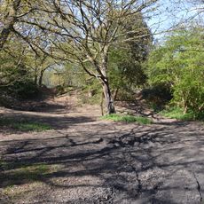
Purfleet Road, Aveley
1.1 km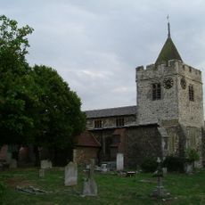
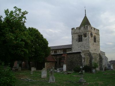
Church of St Michael
486 m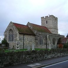
St Mary and St Peter's Church, Wennington
2.5 km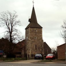
Church of St Mary the Virgin
4 km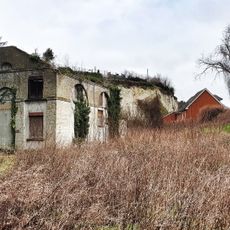
Church House
2.4 km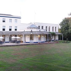
Europa Hotel
4.2 km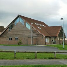
All Saints' Church
3.8 km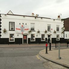
Crown And Anchor Hotel
343 m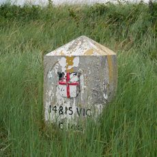
Coal Duty Boundary Marker (On Foreshore, At Mouth Of River Darenth, West Bank)
3.5 km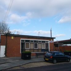
Aveley Library
319 m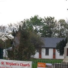
St Stephen's Church
2.5 km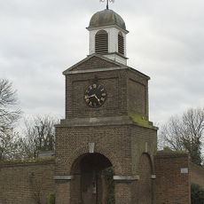
Clock Tower And Attached Walls
2.5 km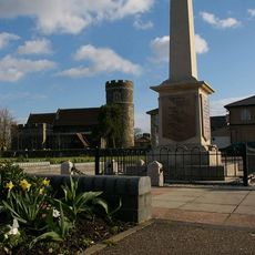
South Ockendon War Memorial
3.9 km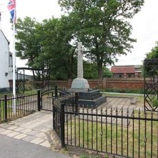
Aveley War Memorial
447 m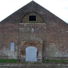
Government Powder Magazine
2.6 km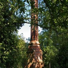
Stench Pipe
1.7 km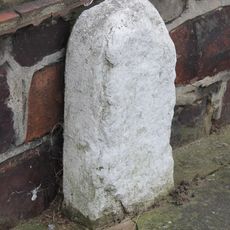
Milestone, Corbets Tey Road
3.6 km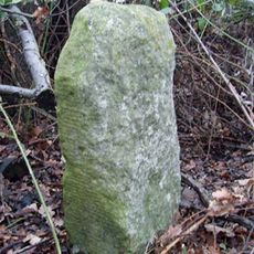
Milestone, by old footpath parallel to road within Belhus Woods Country Park
1.9 km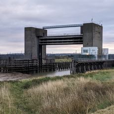
Dartford Creek Barrier
3.7 km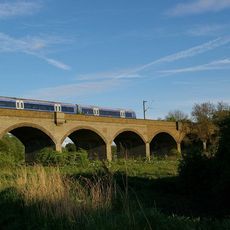
Stifford Viaduct
2.6 kmVisited this place? Tap the stars to rate it and share your experience / photos with the community! Try now! You can cancel it anytime.
Discover hidden gems everywhere you go!
From secret cafés to breathtaking viewpoints, skip the crowded tourist spots and find places that match your style. Our app makes it easy with voice search, smart filtering, route optimization, and insider tips from travelers worldwide. Download now for the complete mobile experience.

A unique approach to discovering new places❞
— Le Figaro
All the places worth exploring❞
— France Info
A tailor-made excursion in just a few clicks❞
— 20 Minutes