
Kirk Ireton, village and civil parish in Derbyshire Dales, Derbyshire, England
Location: Derbyshire Dales
Shares border with: Callow, Hognaston, Biggin by Hulland, Idridgehay and Alton
GPS coordinates: 53.05500,-1.60300
Latest update: March 5, 2025 06:05
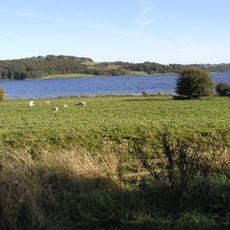
Carsington Water
1.9 km
Carsington Water Visitor Centre
2.6 km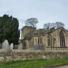
Holy Trinity Church, Kirk Ireton
747 m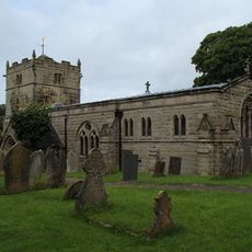
Church of St Bartholomew
3.2 km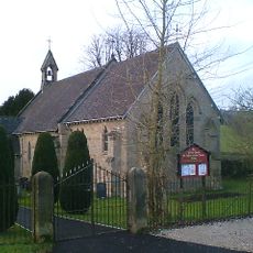
Church of St Phillip and St James
4.3 km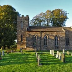
Christ Church
3.9 km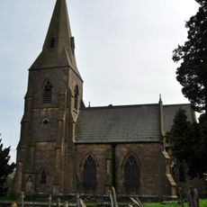
Church of St James
2.7 km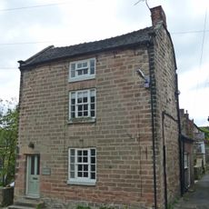
House South West Of Churchyard Gates
782 m
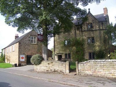
The Barley Mow Inn
806 m
Outbuildings And Former Outbuildings To The West Of The Barley Mow Inn
813 m
Church Farmhouse
748 m
Upperfield Farmhouse And Adjoining Barn To The West
1.3 km
House To The South West Of Green Farm
760 m
The Gate Piers To Holy Trinity Churchyard
770 m
The Manor House
766 m
Green Farmhouse
730 m
Northfield Farmhouse And Garden Wall
765 m
Buxton Hall Farmhouse
760 m
Callow Hall
888 m
Callow Hall Barns
916 m
Prospect House
852 m
Rose Bank
813 m
Farmhouse And Attached Outbuildings To The South Of Well Banks
990 m
Well Banks (at the junction of Well Banks and Nether Lane)
955 m
Methodist Sunday School
875 m
Blackwall Farmhouse
1.8 km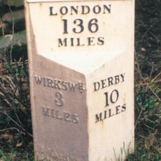
Milepost, near Idridgehay Church
2.7 km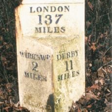
Milepost, Alton Manor
1.8 kmVisited this place? Tap the stars to rate it and share your experience / photos with the community! Try now! You can cancel it anytime.
Discover hidden gems everywhere you go!
From secret cafés to breathtaking viewpoints, skip the crowded tourist spots and find places that match your style. Our app makes it easy with voice search, smart filtering, route optimization, and insider tips from travelers worldwide. Download now for the complete mobile experience.

A unique approach to discovering new places❞
— Le Figaro
All the places worth exploring❞
— France Info
A tailor-made excursion in just a few clicks❞
— 20 Minutes