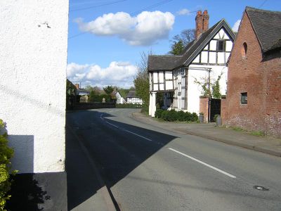
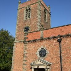
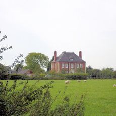
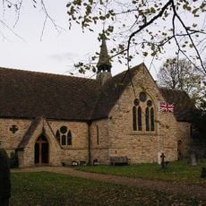
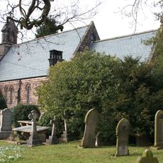
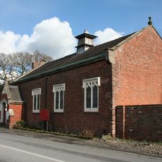
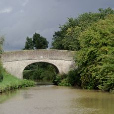
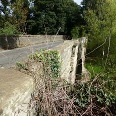
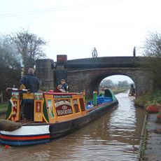
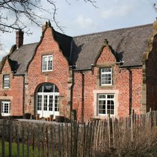
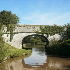
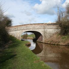
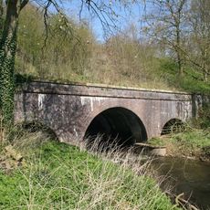
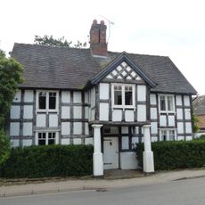
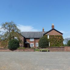
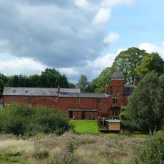
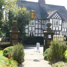
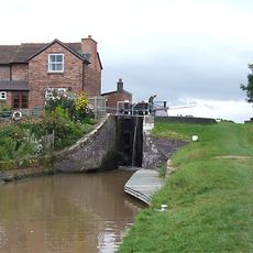
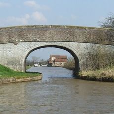
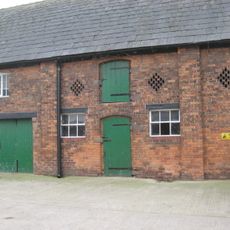
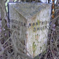
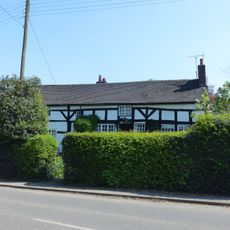
Church Minshull, village and civil parish in Cheshire East, England
Location: Cheshire East
Shares border with: Darnhall, Minshull Vernon, Stanthorne and Wimboldsley, Leighton, Aston juxta Mondrum, Cholmondeston, Wettenhall
GPS coordinates: 53.14000,-2.50000
Latest update: May 8, 2025 03:26
St Bartholomew's Church, Church Minshull
170 m
Lea Hall, Wimboldsley
4 km
St Oswald's Church, Worleston
3.9 km
St Peter's Church, Minshull Vernon
1.8 km
Minshull Vernon United Reformed Church
1.1 km
Darnhall telescope
2.9 km
Middlewich Branch Canal Bridge Number 18 at SJ 679 621
2.2 km
Church Minshull Bridge
239 m
Nanney's Bridge at SJ657 585
2.1 km
The Wharf
546 m
Hollingshead Bridge
1.4 km
Minshullhill Bridge (Bridge No 14)
557 m
Eardswick Hall Bridge
511 m
Ashbrook Bridge
2.3 km
The Badger
136 m
Minshull Vernon cum Leighton War Memorial
2.2 km
Aqueduct over River Weaver at SJ 664 589
1.5 km
Church Farm House
127 m
Lee Green Hall
1.7 km
Bridge House
188 m
Gates and piers to St Bartholomew's Church
144 m
Minshull Lock
2.3 km
Eardswick Bridge
666 m
Middlewich Branch canal bridge Number 19 at 680 624
2.5 km
Jacksons Bridge (No. 7) at SJ 652 585
2.4 km
Barn C15 Yards To West Of Twelve Acres Farmhouse
3.2 km
Milepost, Main Road at SJ6580656425
4.1 km
Smithy House
209 mReviews
Visited this place? Tap the stars to rate it and share your experience / photos with the community! Try now! You can cancel it anytime.
Discover hidden gems everywhere you go!
From secret cafés to breathtaking viewpoints, skip the crowded tourist spots and find places that match your style. Our app makes it easy with voice search, smart filtering, route optimization, and insider tips from travelers worldwide. Download now for the complete mobile experience.
A unique approach to discovering new places❞
— Le Figaro
All the places worth exploring❞
— France Info
A tailor-made excursion in just a few clicks❞
— 20 Minutes