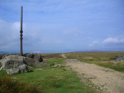
Stanedge Pole, Ancient landmark on Hallam Moors, United Kingdom
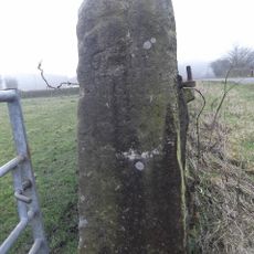
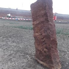
Stanedge Pole is a wooden marker on Hallam Moors standing at 538 meters above sea level between Derbyshire and South Yorkshire, marking the boundary between districts. The current structure combines a locally sourced larch tree trunk with a specialized steel socket and decorative ironwork.
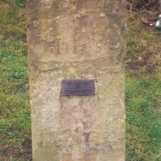
The pole dates to 1550 and bears marks from the work of parish road surveyors who maintained it as a navigation aid across the moors. Carved initials from different centuries show how successive generations left their imprint on this landmark.
The pole marks where three parishes meet and has served as a focal point for local communities across generations. People in the area recognized it as a boundary marker and navigation reference point.
The pole is located along the Long Causeway and features informational markers to help visitors and hikers navigate. The location is easy to reach and well-marked for those walking across the moorland.
Sheffield craftsmen created the specialized steel socket and decorative details for the version installed in 2016. This local craftsmanship is visible in every aspect of the current structure.
The community of curious travelers
AroundUs brings together thousands of curated places, local tips, and hidden gems, enriched daily by 60,000 contributors worldwide.