Carl Wark, Iron Age hill fort in Sheffield, England
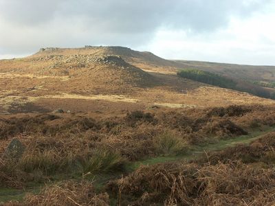
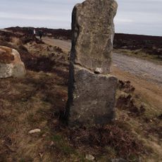
Carl Wark is an Iron Age hill fort with steep rock cliffs on three sides and an ancient earth embankment on the fourth, sitting around 370 meters above sea level. Woodlands of silver birch surround the site, and various rock formations shape how you move through and around the location.
The fort was built between the eighth and fifth centuries BC during the Iron Age, though archaeological evidence suggests people lived here during the Neolithic period too. This indicates a long history of human presence at this elevated location.
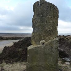
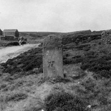
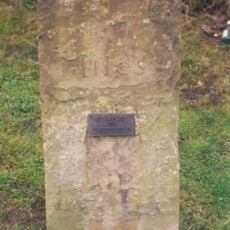
The name Carl Wark comes from Old Norse and means 'The Old Man's Fort', reflecting how Viking settlers recognized this ancient stronghold. You can still observe how the rocky landscape shaped the way people used and understood this place.
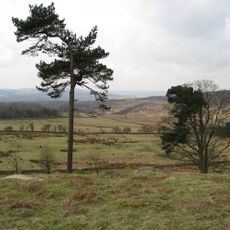
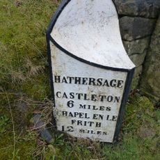
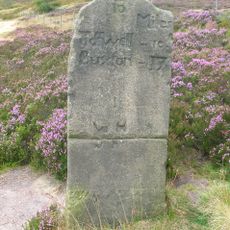
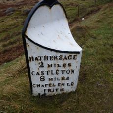
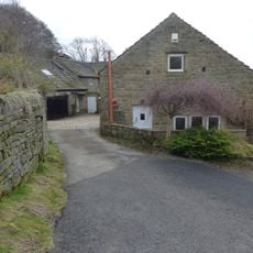
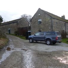
Access starts from Surprise View car park, with paths leading through silver birch woodland and around rock formations. Wear proper footwear because the ground is uneven and some paths slope steeply.
The southern entrance passes through curved rock passages that lead into an elongated enclosure nestled between the natural cliffs. This design shows how early residents used the existing rock formations as built-in defensive features.
Location: Sheffield
GPS coordinates: 53.32944,-1.61278
Latest update: December 7, 2025 20:50
Longshaw Estate
1.6 km
Padley Chapel
2.8 km
Padley Hall
2.7 km
Church of St Michael and All Angels
2.5 km
Scraperlow Farmhouse and attached outbuildings
1.5 km
Fox House Inn and adjoining cottage service buildings and stables
1.4 km
Burbage Brook Bridge
459 m
Cross shaft in St Michael's churchyard
2.5 km
Booth's Farmhouse
1.9 km
Leadmill Bridge
2.7 km
Padley Mill
2.7 km
Milepost 20 Yards To The South West Of The Entrance To Hathersage Hall
2.6 km
The Old Bell House
2.5 km
Camp Green ringwork
2.5 km
Dale Mill And Detached Chimney
2.4 km
Milestone, on track across Hound Kirk Moor at SK28388250
2.7 km
Mile Post 800 Yards To The South West Of Burbage Bridge
1.2 km
Rock House, Attached Outbuilding Entrance, Gate Piers And Gates
2.4 km
Outbuilding To The North East Of The Old Bell House
2.5 km
Milestone, N of Wooden Pole, S of jct with A6187
2.3 km
Lower Booths Farmhouse
2 km
Mitchell Field Farmhouse
1.1 km
Milestone, Houndkirk Moor on track from Fox House to Ringinglow
1.6 km
Milestone, Oxdale Lodge
2.7 km
Milestone, The Crofts, at jct with Main Road, opp service station, to left of public toilets
2.8 km
Milestone, Overstones Farm
1.8 km
Milestone, Longshaw Meadow, Longshaw Estate (NT), W of Visitors Centre
1.4 km
Milestone, on track across Hound Kirk Moor at SK27458118
1.6 kmVisited this place? Tap the stars to rate it and share your experience / photos with the community! Try now! You can cancel it anytime.
Discover hidden gems everywhere you go!
From secret cafés to breathtaking viewpoints, skip the crowded tourist spots and find places that match your style. Our app makes it easy with voice search, smart filtering, route optimization, and insider tips from travelers worldwide. Download now for the complete mobile experience.
A unique approach to discovering new places❞
— Le Figaro
All the places worth exploring❞
— France Info
A tailor-made excursion in just a few clicks❞
— 20 Minutes