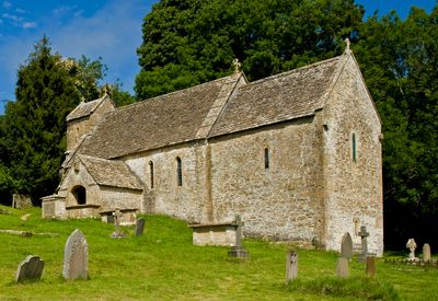
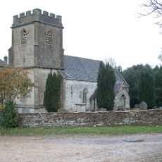
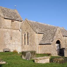
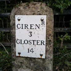
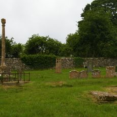
St Michael's Church, Duntisbourne Rouse, Norman church in Duntisbourne Rouse, England.
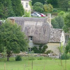
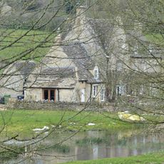
St Michael's Church sits on a steep slope with stone walls built using a herringbone pattern on its north and east sides. The structure combines different building periods, including an underground barrel-vaulted chamber beneath the choir area.
The original core emerged around 1050 with Saxon building features, before Norman builders later expanded the choir and other spaces. These layers from different eras shape how the structure developed and transformed over centuries.
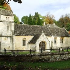
The interior holds carved wooden pews and an ornate pulpit from centuries past, reflecting how worshippers have gathered here over generations. These furnishings tell stories about daily spiritual life in this small valley community.
The church remains an active worship space with regular Anglican services for the community. Visitors should prepare for steep access and dress appropriately for a religious site.
Red ochre wall paintings from the 13th century remain visible in the choir, showing faded colors from once-sacred ritual markings. An organ inside came from the sisters of author Katherine Mansfield, linking this place to a literary family.
Location: Duntisbourne Rouse
Inception: 11 century
GPS coordinates: 51.75320,-2.02260
Latest update: December 14, 2025 12:20
Five Mile House
3.1 km
Church of St Margaret
2.7 km
Davenport House
2.3 km
Church of the Holy Rood
1.3 km
Church of St Peter
2.3 km
Whitehead's Well
2.1 km
Turner's
1.9 km
Thatch Cottage
2.6 km
Gloucester Lodge
2.3 km
Bagendon War Memorial
2.6 km
Bagendon Manor or Manor Farm
2.7 km
Alice's House
1.8 km
Open-fronted store west of the stables, Moor Wood
3 km
Duntisbourne Leer Farmhouse
1.8 km
Cartshed and granary with attached cowhouse across road and to south east of Manor Farmhouse
536 m
Manor Farmhouse
583 m
Barn to south of Manor Farmhouse
555 m
Trustams Mead
1.8 km
The Old Rectory with service cottage and link wall
2.6 km
Milestone
1.2 km
Churchyard cross in St Michael's churchyard
20 m
Milestone
2.9 km
Well Hill
2.3 km
Barn approximately 8 metres south of Duntisbourne Leer Farmhouse
1.8 km
Footbridge to east of ford
527 m
Stables to south east of Manor Farmhouse
567 m
Stables approximately 18 metres south east of Duntisbourne Leer Farmhouse
1.8 km
Milestone, N of Dartley farm (southbound carriageway)
1.5 kmVisited this place? Tap the stars to rate it and share your experience / photos with the community! Try now! You can cancel it anytime.
Discover hidden gems everywhere you go!
From secret cafés to breathtaking viewpoints, skip the crowded tourist spots and find places that match your style. Our app makes it easy with voice search, smart filtering, route optimization, and insider tips from travelers worldwide. Download now for the complete mobile experience.
A unique approach to discovering new places❞
— Le Figaro
All the places worth exploring❞
— France Info
A tailor-made excursion in just a few clicks❞
— 20 Minutes