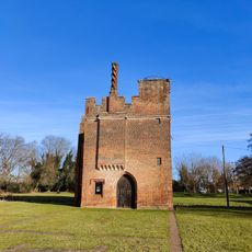
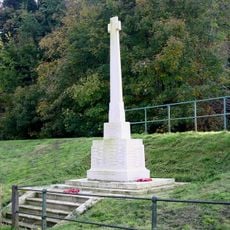
Stanstead Lock, River lock in Hertfordshire, England
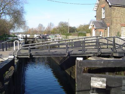
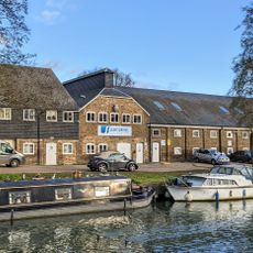
Stanstead Lock is a lock on the River Lee in Hertfordshire that features a swing bridge and an automated sluice gate connected to the River Lee Flood Relief Channel. The installation controls water levels and allows boats to pass between different elevations on this section of the river.
The lock was built as a replacement for an earlier flash-lock system and represented a major improvement in water management on the River Lee Navigation. The newer design allowed for better control of water flow to support river traffic.
The lock is part of The Canal & River Trust network, which manages and protects the waterways near Stanstead Abbotts and St Margarets. Visitors can observe how the surrounding communities depend on and interact with these river systems for both practical and recreational purposes.
The site is best reached on foot by following public access routes from parking areas near Stanstead Abbotts. The riverbanks are relatively open, but can be slippery after rain, so sturdy footwear is recommended for comfortable exploration.
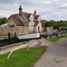
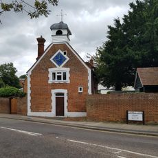
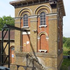
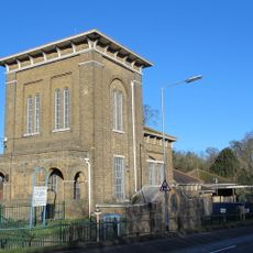
The lock keeper's house sits on an island formed by the River Lee Flood Relief Channel, making it an unusual dwelling set apart from the surrounding land. This arrangement shows how residential spaces were integrated into the river's flood control system.
Location: Hertfordshire
GPS coordinates: 51.79100,0.00013
Latest update: December 14, 2025 18:10
Rye House, Hertfordshire
2.3 km
All Nations Christian College
1.3 km
St James' Church, Stanstead Abbotts
2.2 km
East Herts Miniature Railway
1.5 km
Rye Meads nature reserve
1.7 km
Amwell Quarry
715 m
Hardmead Lock
1.6 km
Parish Church of St Andrew
638 m
Church of St Mary the Virgin
591 m
Parish Church of St John the Baptist
930 m
Jolly Fisherman Public House
392 m
The Rye House Public House
2.4 km
Red Lion Public House
623 m
Rye House Gatehouse
2.3 km
Maltings On East Bank Of River Lea 50 Metres South Of Bridge
461 m
Stanstead Hall
562 m
Milepost At West Corner With Gypsy Lane
1.1 km
Front Railings Wall And Gates
575 m
The Mill
668 m
Great Amwell War Memorial
826 m
The Clock House
658 m
Remains Of Window And Wall Near Inner Edge Of Moat West Of Rye House Gatehouse
2.3 km
Remains Of Window And Wall Near Inner Edge Of Moat South East Of Rye House Gatehouse
2.3 km
Amwell Marsh Pumping Station
473 m
Rye House moated enclosure and gatehouse
2.3 km
Gateposts To South Of Rye House Gatehouse On The Causeway At The South West Corner Of The Moat
2.3 km
Milestone At Tl 3627 1350 (Outside Boundary Wall Of Number 132, Not Included)
2.2 km
Rye Common Pumping Station
1 kmVisited this place? Tap the stars to rate it and share your experience / photos with the community! Try now! You can cancel it anytime.
Discover hidden gems everywhere you go!
From secret cafés to breathtaking viewpoints, skip the crowded tourist spots and find places that match your style. Our app makes it easy with voice search, smart filtering, route optimization, and insider tips from travelers worldwide. Download now for the complete mobile experience.
A unique approach to discovering new places❞
— Le Figaro
All the places worth exploring❞
— France Info
A tailor-made excursion in just a few clicks❞
— 20 Minutes