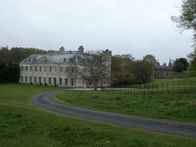
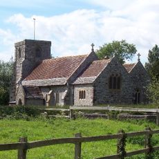
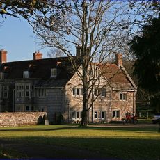
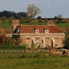
Charborough House, English country house in Morden, England.
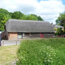
Charborough House is a manor in Morden, England, set on around 3,500 acres of land in Dorset. The main entrance shows six columns with Ionic pilasters and stucco-faced brick walls, while the grounds hold woodland, farmland, and several historic outbuildings.
The original structure from the early 17th century was destroyed during the English Civil War. Rebuilding took place using stone from the ruins of Corfe Castle, which had been blown up by Parliamentary forces in 1646.
The name comes from 'Cerne Borough', an old manor recorded in the Domesday Book. The main front shows stucco over brick with Ionic pilasters, a typical Georgian design for country estates of that era.
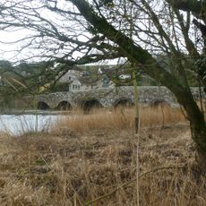
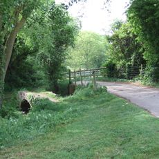
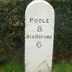
The estate sits away from main roads in rural Dorset and opens to visitors only at certain times. Paths through the parkland cover several kilometers, passing meadows, woodland, and working farmland.
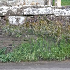
A brick wall built between 1841 and 1842 circles the entire property for over two miles. More than two million handmade bricks were used in its construction, making it one of the longest such walls in southern England.
Location: Morden
Part of: Charborough Park
GPS coordinates: 50.78060,-2.10743
Latest update: December 14, 2025 19:22
St Mary the Virgin, Lytchett Matravers
2 km
Anderson Manor
4.5 km
St Andrew's Church, Winterborne Tomson
4.1 km
Lytchett Heath
4.8 km
Church of St Mary
1.6 km
Church of St Mary the Virgin
3.6 km
St Mary's Church
2.5 km
Parish Church of Saint Bartholomew
3.9 km
Parish Church of St Mary
2.6 km
Church of Saint Michael
4.5 km
White Mill Bridge
4.2 km
176-188, Church Street
3.6 km
Almer Manor
1.6 km
The War Memorial
4 km
Charborough Tower
521 m
Crawford Bridge
4.1 km
Village Cross
2.7 km
Milestone At Junction Of Road To The World's End Public House
1.9 km
Footbridge Over The River Winterbourne, 200 Metres West Of King Street
3.1 km
Churchyard Wall
3.6 km
Barn Opposite White Mill
4.3 km
Tomson Farm House
4 km
East Almer Lodge
1.4 km
Milestone, Blandford Road, 160m N of cross-roads with Station Rd, in front of Burton Lux
2.5 km
Milestone, 300m E of Spetisbury; 30m W of layby
3.8 km
Milestone, 50m W of 'Coventry Arms' Pub, outside most westerly house in village
4.8 km
Milestone, Huntick Road
3.8 km
Milestone, 500m S of jct with A35;
4.7 kmVisited this place? Tap the stars to rate it and share your experience / photos with the community! Try now! You can cancel it anytime.
Discover hidden gems everywhere you go!
From secret cafés to breathtaking viewpoints, skip the crowded tourist spots and find places that match your style. Our app makes it easy with voice search, smart filtering, route optimization, and insider tips from travelers worldwide. Download now for the complete mobile experience.
A unique approach to discovering new places❞
— Le Figaro
All the places worth exploring❞
— France Info
A tailor-made excursion in just a few clicks❞
— 20 Minutes