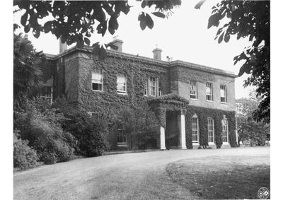
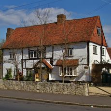
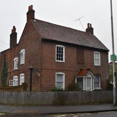
Stanwell Place, Manor house in Stanwell, Great Britain.
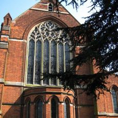
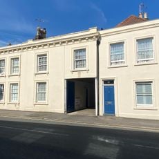
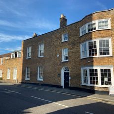
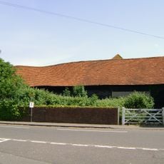
Stanwell Place is a two-storey manor house with rendered walls, a low-pitched roof hidden behind a parapet, and a red brick west wing added later. The building sits within the remains of a once-extensive estate that included substantial parkland.
The house was built in its current form in the early 1800s by the family holding the manorial rights since 1754. The estate expanded in 1771 when additional lands were enclosed to form the surrounding parkland.
The house served as a meeting place for senior military commanders and American officials during World War II. Strategic discussions held here shaped important wartime decisions.
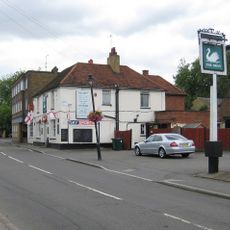
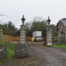
The house is located in a populated area south of London, making public transport the easiest way to visit. Access to the property is limited, so it is best to check beforehand what viewing options are available.
After the British owner died, an Iraqi king purchased the house and its surrounding acres, but this ownership proved brief. Political upheaval in his country led to the property's uncertain future shortly after.
GPS coordinates: 51.45900,-0.49120
Latest update: December 12, 2025 14:23
Waterside
3 km
Compass Centre
2.9 km
St George’s Interdenominational Chapel, Heathrow Airport
2.9 km
Staines Moor
1.8 km
Slipstream
3.1 km
Church of St Mary
838 m
Hilton London Heathrow Airport Terminal 5
2.7 km
Church of St Hilda
3 km
The White Horse Public House
2.4 km
75, Church Street
3.1 km
57 and 59, Church Street
3.1 km
King Henry Public House The Stables
2.6 km
King's Bridge
2.3 km
The Swan Public House
789 m
Stanwell War Memorial
837 m
Barn To West Of Weekly House
2.3 km
Perry Green
815 m
Milestone
2.1 km
Gates Piers And Gates To Stanwell Place
220 m
Milestone
781 m
Longford Close
2.4 km
Milestone At Madbridge
2.4 km
Lord Knyvett's Free School
1.1 km
Boundary Wall Of Duncroft House
3.1 km
Milestone, High Street, opp. The Swan PH, W of jct with Oaks Road
525 m
Milestone, Bath Road; Heathrow Park, E of village (was opp. Peggy Bedford Inn); 100m into Old Bath Road from Jct. with Colnbrook By-pass
2.6 km
Milestone, Staines Road; Bedfont, by No. 778, 50m E of Ashford boundary
2.7 km
Wraysbury Reservoir
2.3 kmVisited this place? Tap the stars to rate it and share your experience / photos with the community! Try now! You can cancel it anytime.
Discover hidden gems everywhere you go!
From secret cafés to breathtaking viewpoints, skip the crowded tourist spots and find places that match your style. Our app makes it easy with voice search, smart filtering, route optimization, and insider tips from travelers worldwide. Download now for the complete mobile experience.
A unique approach to discovering new places❞
— Le Figaro
All the places worth exploring❞
— France Info
A tailor-made excursion in just a few clicks❞
— 20 Minutes