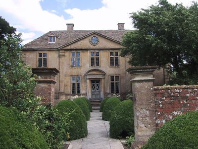
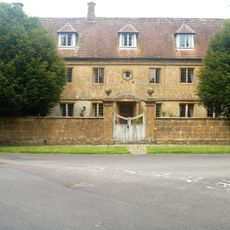
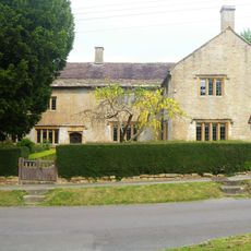
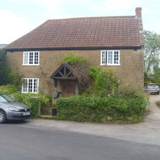
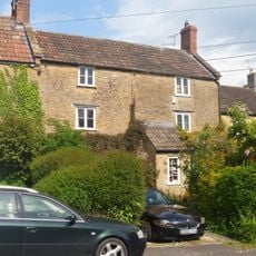
Tintinhull House, 17th-century manor house in Tintinhull, England.
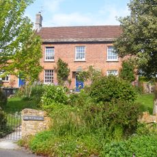
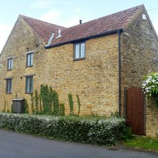
Tintinhull House is a 17th-century manor constructed from Hamstone in a village in Somerset. Its rooms open onto a garden divided into distinct areas by walls and hedges, where pools, fountains, and formal pathways create a structured outdoor space.
The property began as a farmhouse built in 1630 and came into the Napper family's hands after the dissolution of monasteries. The garden took on its current formal design in the early 20th century under new direction.
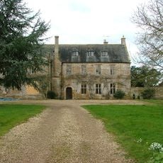
The house has long been home to the Napper family and continues to shape understanding of English country estates. Visitors can see how rooms were used for different purposes and seasons.
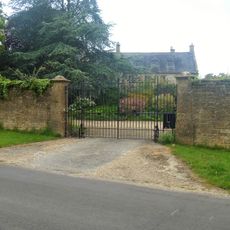
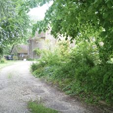
The house sits in a small village and is open to visitors, though access varies by season. Visitors should check ahead of time, as opening days vary and it is worth allowing time to explore both the house and garden.
The garden features unusual triangular and diamond-shaped flagstones laid out in the early 20th century by Dr. S.J.M. Price. This geometric pattern is rare and adds to the distinctive quality of the outdoor space.
Location: Tintinhull
Website: https://nationaltrust.org.uk/tintinhull-garden
GPS coordinates: 50.97440,-2.70722
Latest update: December 8, 2025 19:50
Tintinhull Court
586 m
Church of St Margaret, Tintinhull
604 m
Boundary Or Direction Stone 6 Metres North Of No 15 (Batcombe House)
694 m
Pair Of Barns About 5 Metres South West Of Lamb Farmhouse
422 m
Queens Farmhouse And Front Boundary Wall
647 m
The Dower House
450 m
Lamb Farmhouse And Pump One Metre North West Of Doorway
406 m
Francis House
422 m
East Boundary Wall To Tininhull Court With Gateway And Return On North Side To Churchyard
514 m
Walters Farmhouse And Front Boundary Wall
521 m
The Former 'stonyn' Door In Churchyard About 5 Metres South Of Vestry, Church Of St Margaret
611 m
Churchyard Cross In Churchyard About 6 Metres East South East Of Chancel, Church Of St Margaret
568 m
Outbuilding About 2 Metres East Of Lamb Farmhouse
392 m
Leach's And Front Boundary Walling
531 m
Winters Farmhouse
563 m
Court Dairy House
631 m
Outbuilding About 20 Metres North East Of The Dower House And Attached Gateway Towards West Corner
430 m
Batcombe House
706 m
32 And 34, Queen Street
683 m
Rosecott
374 m
4, Queen Street
498 m
The Old Bakery
649 m
Outbuilding About 5 Metres North Of Walters Farmhouse
538 m
The Old Vicarage
441 m
Littlehayes And No 30
671 m
K6 Telephone Kiosk
458 m
Outbuilding About 2 Metres South Of Winters Farmhouse
555 m
Milestone, Head Street, jct with St Margaret's Road
688 mVisited this place? Tap the stars to rate it and share your experience / photos with the community! Try now! You can cancel it anytime.
Discover hidden gems everywhere you go!
From secret cafés to breathtaking viewpoints, skip the crowded tourist spots and find places that match your style. Our app makes it easy with voice search, smart filtering, route optimization, and insider tips from travelers worldwide. Download now for the complete mobile experience.
A unique approach to discovering new places❞
— Le Figaro
All the places worth exploring❞
— France Info
A tailor-made excursion in just a few clicks❞
— 20 Minutes