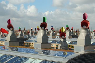
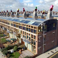
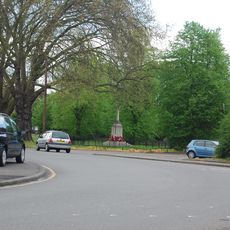
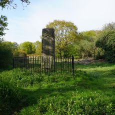
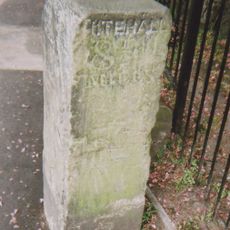
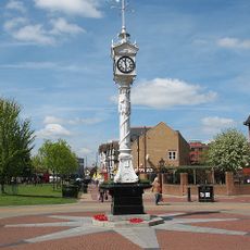
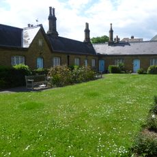
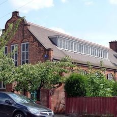
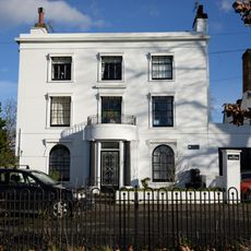
Hackbridge, suburb in the London Borough of Sutton, south-west London
Location: London Borough of Sutton
Shares border with: Thornton Heath
GPS coordinates: 51.40090,-0.15170
Latest update: March 10, 2025 12:45
Beddington Zero Energy Development
2.1 km
Mitcham Common
877 m
Mitcham Cricket Green
1.1 km
Eagle House
1.2 km
Figges Marsh
1.6 km
Therapia Lane depot
2 km
Ravensbury Park
2 km
Mitcham Library
1.1 km
Oakleigh Way
1.3 km
Cranmer Green
722 m
Church of St Barnabas
1.8 km
Parish Church of St Peter and St Paul, Mitcham
1.6 km
White Hart Inn
1.2 km
Methodist Church
941 m
Mitcham Lane Baptist Church
2.3 km
Burn Bullock Public House
1.2 km
Former Tooting Police Station
2.4 km
Church Hall Of St Barnabas' Church
1.8 km
Norbury Library
2.2 km
The Parish Church of St Philip - Home to Libera
1.9 km
Mitcham War Memorial
1.2 km
Bidder Memorial
481 m
Milestone Opposite Elm Lodge
1.1 km
Clock Tower At Junction With Upper Green East
1 km
Tate Almshouses
1.1 km
St Andrew's Church Hall
2.3 km
The White House
1 km
Milestone On Figges Marsh Opposite Entrance To St James' Road
1.9 kmReviews
Visited this place? Tap the stars to rate it and share your experience / photos with the community! Try now! You can cancel it anytime.
Discover hidden gems everywhere you go!
From secret cafés to breathtaking viewpoints, skip the crowded tourist spots and find places that match your style. Our app makes it easy with voice search, smart filtering, route optimization, and insider tips from travelers worldwide. Download now for the complete mobile experience.
A unique approach to discovering new places❞
— Le Figaro
All the places worth exploring❞
— France Info
A tailor-made excursion in just a few clicks❞
— 20 Minutes