Tripontium, Archaeological excavation site near Shawell, United Kingdom
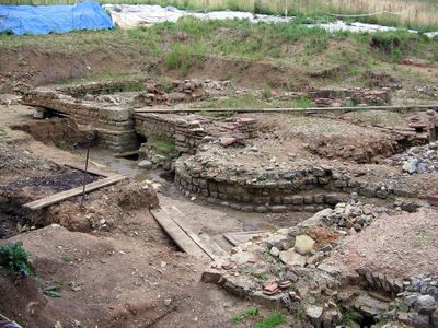
Tripontium is a Roman settlement that spreads over several hundred meters along Watling Street, containing remains of buildings, defensive structures, and many ancient artifacts. The site sits on an archaeological area that is regularly researched and offers insights into Roman daily life.
The settlement was founded around 50 AD as a Roman military post and developed into a significant town that remained inhabited until the late 4th century. This long history shows how important this location was for the Romans in northern England.
Excavations revealed a stone bathhouse, an inn, and administrative buildings that made this place an important meeting point for travelers and residents. Visitors can see today how this location shaped daily life in Roman times and served as a hub for social exchange.
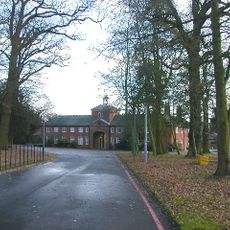
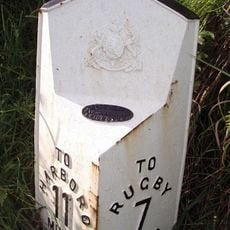
The site is located east of Rugby and is regularly accessible to visitors, with excavations conducted by local archaeological groups. The best time to explore is during the digging season, when you can see the ongoing work and gain a better understanding of the discoveries.
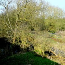
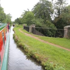
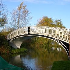
The name Tripontium comes from Latin and refers to three bridges that crossed the River Avon and its tributaries at this location. This strategic position where multiple waterways converged made the place a natural crossroads for trade and travel.
The community of curious travelers
AroundUs brings together thousands of curated places, local tips, and hidden gems, enriched daily by 60,000 contributors worldwide.