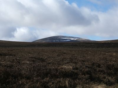
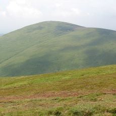
The Cheviot, Volcanic summit in Northumberland, England
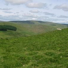
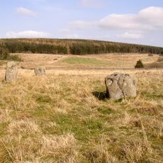
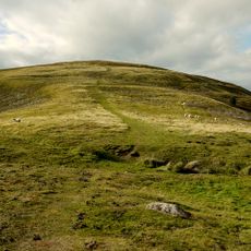
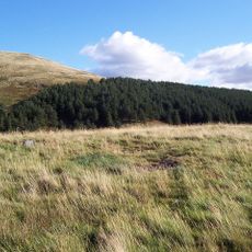
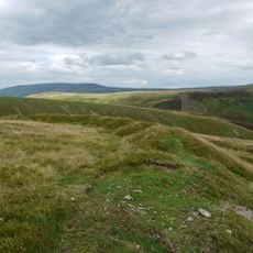
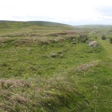
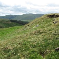
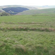
The Cheviot is a volcanic summit in the Cheviot Hills on the border between England and Scotland. It rises to about 815 meters and supports a boggy plateau with expansive views across the surrounding landscape.
The mountain formed around 390 million years ago through intense volcanic activity, creating a stratovolcano. Millions of years of erosion have significantly altered its original structure and shaped it into its current appearance.
The name Cheviot first appeared in written records from 1181, suggesting a Brittonic origin that refers to the geographical characteristics of the ridge.
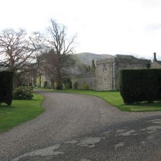
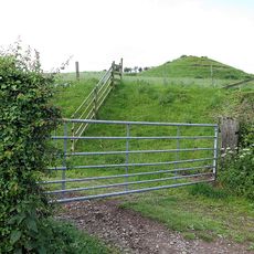
The mountain is accessible via the Pennine Way hiking route or from several starting points around the area. Visitors should prepare for changing weather and bring appropriate gear for boggy terrain.
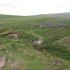
During World War II, several aircraft crashed in the area around the mountain. Local people provided aid and support to the surviving crew members in those dangerous times.
Location: Northumberland
Elevation above the sea: 815 m
Made from material: volcanic rock
GPS coordinates: 55.47823,-2.14553
Latest update: December 7, 2025 10:08
Coupland Castle
11 km
Windy Gyle
7.5 km
Hedgehope Hill
3.6 km
Stone circle and stone alignment 370m west of Threestoneburn House
6.2 km
Prehistoric enclosed settlement, Iron Age hillfort and medieval shielings on Humbleton Hill
9.7 km
Hethpool House
8 km
Peniel Revival Centre, Halterburn
9.4 km
Church of St Gregory the Great
9.8 km
Church of St Michael
10.9 km
Round cairn cemetery 1000m north west of Heddon Hill
8.6 km
Linhope Spout
6 km
Kirknewton War Memorial
9.8 km
Halterburn
9.4 km
Westnewton Bridge
9.9 km
Burnt Humbleton
9.4 km
Blackbrough Hill
10.4 km
Middleton Hall
9.4 km
Milepost Circa 1/4 Mile North Of Haugh Head
11 km
Green Castle
10.3 km
Medieval chapel, 220m south east of White Gables
10.5 km
Boundary Stone Circa 20 Yards South Of North Yearle Farm Buildings
9.7 km
Milepost Circa Half A Mile East Of Humbleton Buildings
11.1 km
Sheepfold 200 Yards North Of Greensidehill
8.3 km
Sheepfold 3/4 Miles North Of Greensidehill
8.2 km
Akeld Bastle And Attached Walling To South
10.1 km
Round cairn 850m, and two Romano-British farmsteads, associated trackway, moated site, medieval settlement and field system 900m
8.6 km
Ring Chesters defended settlement
9.4 km
Settlement S of Hare Law
8.2 kmVisited this place? Tap the stars to rate it and share your experience / photos with the community! Try now! You can cancel it anytime.
Discover hidden gems everywhere you go!
From secret cafés to breathtaking viewpoints, skip the crowded tourist spots and find places that match your style. Our app makes it easy with voice search, smart filtering, route optimization, and insider tips from travelers worldwide. Download now for the complete mobile experience.
A unique approach to discovering new places❞
— Le Figaro
All the places worth exploring❞
— France Info
A tailor-made excursion in just a few clicks❞
— 20 Minutes