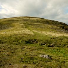
Hedgehope Hill, Mountain summit in Northumberland, England
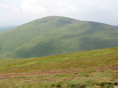
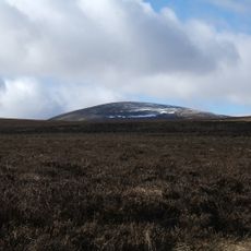
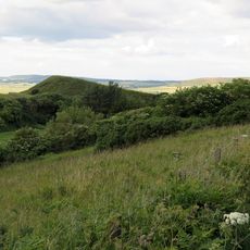
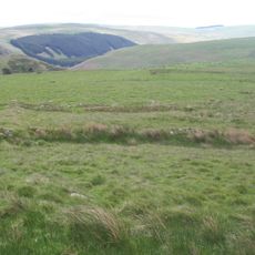
Hedgehope Hill is the second-highest peak in the Cheviot Hills, rising to 714 meters with steep sides dropping away sharply. From the summit, the landscape opens up in all directions, revealing rolling countryside to the north and east.
The mountain has long served as a natural reference point between England and Scotland, sitting about 4.8 kilometers from the border. Its position near the boundary made it an important landmark for people crossing or living in the borderland throughout history.
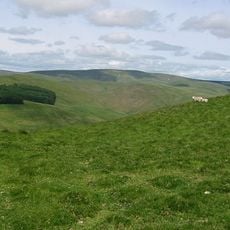
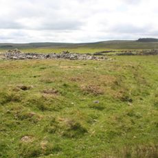
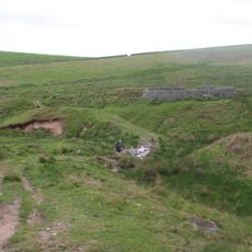
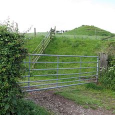
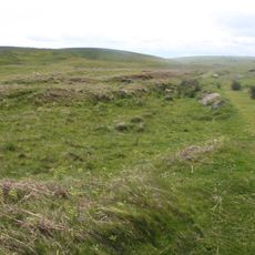
Shepherds have used these slopes for grazing animals for many generations, and their work shapes how the mountain looks today. You can see their stone walls and paths crisscrossing the hillside as you walk through.
Two main walking routes lead to the summit: one starting from Langleeford in Harthope Valley and a longer option from Linhope in Breamish Valley. Sturdy footwear is essential due to the steep slopes, which become slippery after rain or during winter conditions.
On clear days, visitors can see as far as 60 kilometers, with views reaching the coastal town of Blyth and into central County Durham. This exceptional distant visibility often surprises hikers who are amazed to spot landmarks so far away from the summit.
The community of curious travelers
AroundUs brings together thousands of curated places, local tips, and hidden gems, enriched daily by 60,000 contributors worldwide.