Enable Location

We need your location to show you interesting places around you

Discover nearby places

Find interesting locations and hidden gems around you

Precise directions

Get accurate directions and distances to places

Your location is never shared with other users. It's only used when you tap the location button.

Windy Gyle

Log in to your account

Start exploring — it's free

Trusted by 64,931 travelers worldwide

Continue with Google
Continue with Apple
or

We will send you a code to connect

By continuing, you accept our Terms and Conditions and our Privacy Policy

Check your inbox

We've sent a pincode in your inbox. Please enter the code below.

Windy Gyle
Discussion Reviews 1 Photos
3.1k Popularity

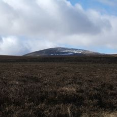
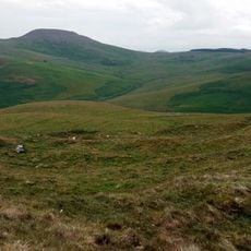
Windy Gyle, Mountain summit in Scottish Borders, United Kingdom

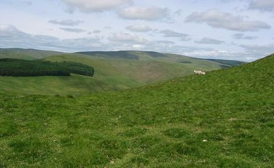
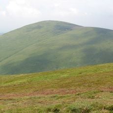
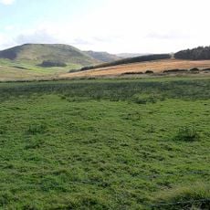
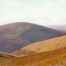
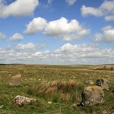
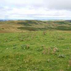
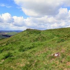
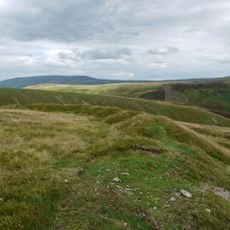
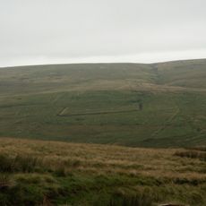
Windy Gyle is a mountain summit in the Cheviot Hills, sitting directly on the England-Scotland border within the Scottish Borders. The top is covered with open grassland and moorland, and a large circular stone cairn marks the highest point of the hill.

The hill has been used as a natural boundary point between England and Scotland for centuries, and the cairn at its top was built to mark that line in a permanent way. The cairn's name is said to recall an English nobleman who was killed nearby during the border conflicts of the medieval period.

The large cairn at the top, known as Russell's Cairn, sits right on the line that divides England from Scotland, and walkers on the Pennine Way pass through this boundary point on their route north. Standing there, you are literally on the border between two countries.

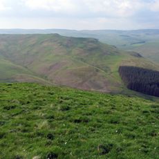
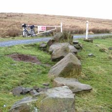
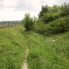
The summit is reachable via the Pennine Way long-distance path, which runs along the ridge, or by footpaths from Alwinton village across open moorland. The terrain is exposed and the weather can change fast, so solid footwear and warm layers are a good idea.

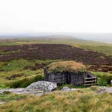
Russell's Cairn has a circular hollow at its center that is deep enough to offer a small group of walkers shelter from the wind. On a day with strong gusts, this hollow becomes one of the few protected spots on an otherwise fully open ridge.

The community of curious travelers

AroundUs brings together thousands of curated places, local tips, and hidden gems, enriched daily by 60,000 contributors worldwide.

Start exploring
Location
Location
Elevation above the sea
619 m
GPS coordinates
55.43062,-2.23009
Latest update
March 3, 2026 13:55
Reviews
Share your experience

No review yet

Discussions
Start a discussion...

No discussion yet

« Windy Gyle - Mountain summit in Scottish Borders, United Kingdom » is provided by Around Us (aroundus.com). Images and texts are derived from Wikimedia project under a Creative Commons license. You are allowed to copy, distribute, and modify copies of this page, under the conditions set by the license, as long as this note is clearly visible.

Discover hidden gems everywhere you go!

From secret cafés to breathtaking viewpoints, skip the crowded tourist spots and find places that match your style. Our app makes it easy with voice search, smart filtering, route optimization, and insider tips from travelers worldwide. Download now for the complete mobile experience.

Around Us App Screenshot

A unique approach to discovering new places

Le Figaro

All the places worth exploring

France Info

A tailor-made excursion in just a few clicks

20 Minutes

Around Us
Travel Guide & Maps
Download

Send to your phone

QR Code
1

Open the camera app on your mobile.

2

Point at the QR code with your camera. A notification will appear.

3

Tap the notification to open the link.