Pennymuir Roman camps, Archaeological site near Oxnam, Scotland.
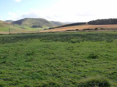
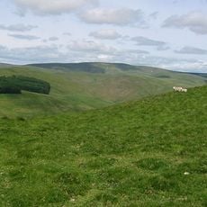
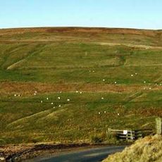
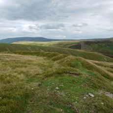
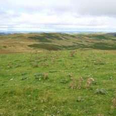
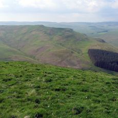
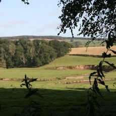
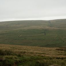
Pennymuir Roman camps consist of four separate military installations scattered across moorland alongside the Dere Street route. The sites occupy strategic positions near crossing points and display the typical rampart systems the Romans used for temporary field bases.
These camps functioned as temporary bases during Roman military campaigns in Britain from the 1st to 2nd centuries AD. Two major legions used these positions during their advances into Scotland, occupying and abandoning the sites multiple times.
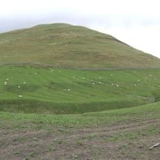
The camps display Roman military construction through their rectangular designs and multiple gateways, built to control passage through this border region. You can see how the Romans adapted their standard layouts to the rolling moorland terrain.
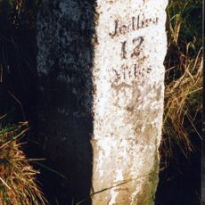
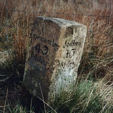
The sites sit on open moorland and are freely accessible without permits. The ground remains wet and boggy throughout the year, so sturdy boots and weather-resistant clothing are recommended for any visit.
These installations were systematically mapped by surveyor William Roy in the mid-1700s, creating one of the most complete records of Roman field camps north of England. His detailed charts allow visitors to recognize the earthworks that would otherwise be difficult to spot in the moorland.
The community of curious travelers
AroundUs brings together thousands of curated places, local tips, and hidden gems, enriched daily by 60,000 contributors worldwide.