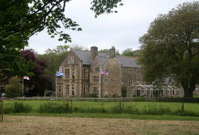
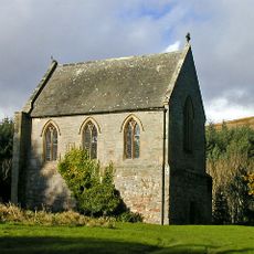
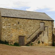
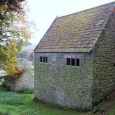
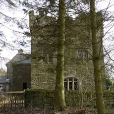
Clennell Hall, Grade II listed country house in Alwinton, England.
Clennell Hall is a Grade II listed country house in Alwinton that incorporates a fortified pele tower dating from the 16th century within its fabric. The building provides ten individual guest rooms plus two shared bunk accommodations designed for group stays.
The estate came under the Clennell family's ownership in the early 1600s and remained with them until 1749. That connection ended when Philadelphia Clennell married William Wilkinson, transferring the property to his family line.
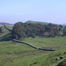
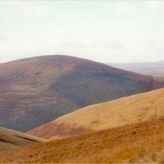
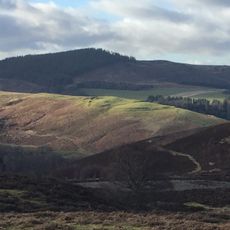
The property sits in the Coquet Valley, where the night sky is exceptionally dark and free from light pollution. This quality makes stargazing from the grounds a memorable part of staying here.
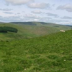
The property is best reached via minor roads through Coquet Valley, as the approach follows rural lanes. Visitors should plan ahead for meals and supplies since the location is remote and facilities are limited nearby.
The ground floor Rievers Room occupies space within the original medieval fortified tower and preserves structural elements dating to the 13th century. This room offers guests the unusual experience of sleeping directly within historic defensive walls.
Location: Alwinton
GPS coordinates: 55.35841,-2.11348
Latest update: December 14, 2025 09:46
Northumberland National Park
8 km
Harbottle Castle
2.4 km
Windy Gyle
10.9 km
Biddlestone RC Chapel
2.9 km
Shillhope Law
6.1 km
Church of St Michael, Alnham
7.3 km
Church of St Mary
5.2 km
Church of St Michael
1.5 km
Presbyterian Church
2.5 km
Roman Catholic Church of All Saints
11.2 km
Harbottle Church Of England Aided First School
2.5 km
Linhope Spout
10.4 km
The Lady's Well
4.9 km
Clennel Memorial Fountain
2.5 km
Multivallate hillfort, 400m west of Harehaugh
8.4 km
Bastle at The Raw Farm
9.2 km
Farmbuildings Circa 30 Metres West North West Of Lorbottle Farmhouse
10.4 km
Sheepfold 200 Yards North Of Greensidehill
10.9 km
Observation post 240m west of Ridlees Cairn
9.3 km
Limekiln Circa 200 Yards North West Of Park House
1.6 km
Roman camp, 900m NNE of Featherwood
11 km
Round cairn 340m west of The Beacon
7.2 km
New Hall
2.5 km
Woodhouses Bastlehouse
7.8 km
Tower House
7.2 km
Bastle, 500m west of High Shaw
8.9 km
World War I practice trenches 740m north west of Short Fell
10.4 km
Cross dyke, 200m south east of Hosedon Linn
1.3 kmVisited this place? Tap the stars to rate it and share your experience / photos with the community! Try now! You can cancel it anytime.
Discover hidden gems everywhere you go!
From secret cafés to breathtaking viewpoints, skip the crowded tourist spots and find places that match your style. Our app makes it easy with voice search, smart filtering, route optimization, and insider tips from travelers worldwide. Download now for the complete mobile experience.
A unique approach to discovering new places❞
— Le Figaro
All the places worth exploring❞
— France Info
A tailor-made excursion in just a few clicks❞
— 20 Minutes