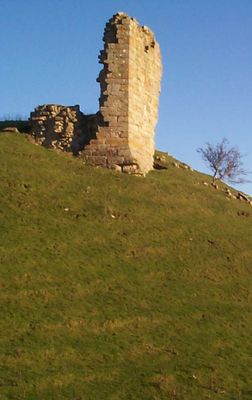
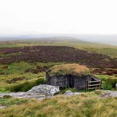
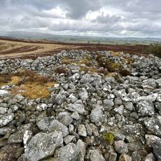
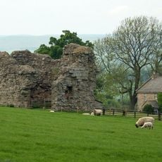
Harbottle Castle, Medieval castle ruin in Harbottle, England.
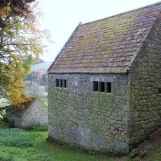
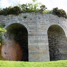
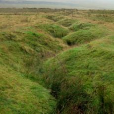
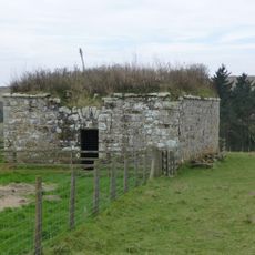
Harbottle Castle is a fortified site whose stone remains stand on a hill above the River Coquet, with fragments of walls marking its former defensive position. The layout includes a motte-and-bailey structure with later stone construction, showing different building phases from the 12th century onward.
The Umfraville family built this fortress in 1160 under orders from King Henry II to strengthen border defenses against Scottish invasions. It remained a key position controlling the territory between England and Scotland through the medieval period.
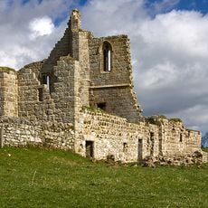
The site connects to the Tudor family through Margaret Douglas, born here in 1515, linking it to both English and Scottish royal lines. Walking through the ruins today lets visitors sense this royal connection that shaped the region's history.
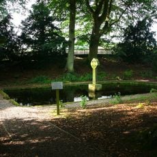
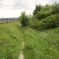
The ruins are easily accessed through a parking area at the west end of Harbottle village, with free entry year-round. The site sits openly on a hillside, so visitors should expect muddy or uneven ground, especially after rain.
From 1436 to 1603, the castle housed the Warden of the Middle March, the official who commanded this strategic border section. This lengthy period shows how central this location was to managing the English-Scottish boundary for almost two centuries.
Location: Harbottle
Inception: 12 century
GPS coordinates: 55.33700,-2.10900
Latest update: December 8, 2025 19:44
Northumberland National Park
7.2 km
Cartington Castle
10.7 km
Clennell Hall
2.4 km
Biddlestone RC Chapel
4.2 km
Shillhope Law
7.6 km
Church of St Michael, Alnham
8.6 km
Church of St Mary
3.1 km
Church of St Michael
1.3 km
Presbyterian Church
111 m
Roman Catholic Church of All Saints
10.1 km
Harbottle Church Of England Aided First School
317 m
The Lady's Well
2.8 km
Clennel Memorial Fountain
226 m
Tosson Burgh
10.1 km
Woodhouses Bastlehouse
5.6 km
Tosson Tower Farmhouse
10.6 km
Limekiln Circa 200 Yards North West Of Park House
1 km
Observation post 240m west of Ridlees Cairn
9.2 km
Round cairn 340m west of The Beacon
4.9 km
Farmbuildings Circa 30 Metres West North West Of Lorbottle Farmhouse
10.3 km
Bastle at The Raw Farm
6.9 km
New Hall
350 m
Multivallate hillfort, 400m west of Harehaugh
6.2 km
Tower House
8.5 km
Tosson Tower
10.6 km
World War I practice trenches 740m north west of Short Fell
9.9 km
Bastle, 500m west of High Shaw
6.5 km
Cross dyke, 200m south east of Hosedon Linn
3.5 kmVisited this place? Tap the stars to rate it and share your experience / photos with the community! Try now! You can cancel it anytime.
Discover hidden gems everywhere you go!
From secret cafés to breathtaking viewpoints, skip the crowded tourist spots and find places that match your style. Our app makes it easy with voice search, smart filtering, route optimization, and insider tips from travelers worldwide. Download now for the complete mobile experience.
A unique approach to discovering new places❞
— Le Figaro
All the places worth exploring❞
— France Info
A tailor-made excursion in just a few clicks❞
— 20 Minutes