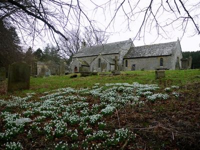
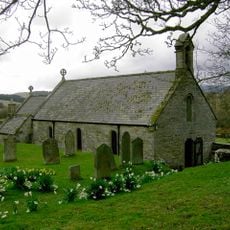
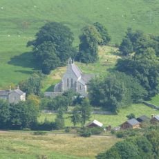
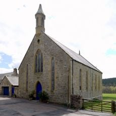
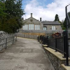
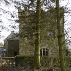
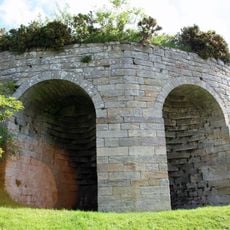
Church of St Michael, Alnham, Medieval church in Alnham, England
Church of St Michael is a building of worship located near where the Aln River begins, featuring a bell structure, a lower chancel area, and an arcade with three sections. The structure shows the practical design typical of rural churches from its era.
The building was founded around 1201 and was already mentioned in a charter from 1184 that recorded its transfer to monks from Alnwick Abbey. This shows it held importance for the religious life of the area from that early time.
The church holds religious objects that have been used by worshippers for centuries, including communion vessels and a small baptismal font made in 1664. These items show how the local community has expressed its faith over generations.
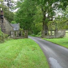
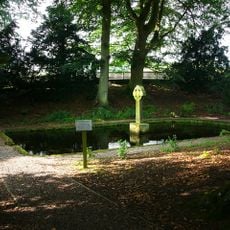
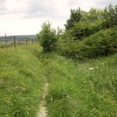
The building is in a remote area near the river valley, so expect a rural setting away from busy roads. It is reachable on foot, but plan for a countryside walk and wear appropriate footwear for uneven ground.
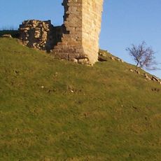
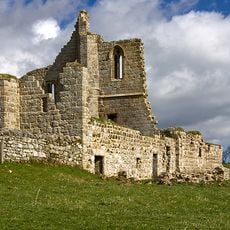
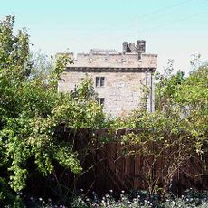
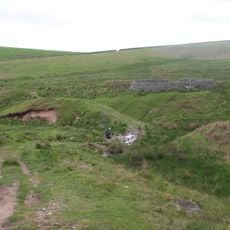
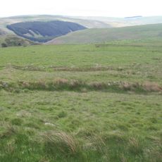
The building stands close to where a Roman camp once existed and sits near other historical remains including castle ruins and a defensive tower. That tower was later converted to serve as a house for the parish priest.
Location: Alnham
Inception: 13 century
Website: http://stmichaelsalnham.org.uk
GPS coordinates: 55.39280,-2.01600
Latest update: December 14, 2025 18:07
Harbottle Castle
8.6 km
Callaly Castle
6.3 km
Eslington Park
5.3 km
Cartington Castle
8 km
Clennell Hall
7.3 km
Biddlestone RC Chapel
4.4 km
Clinch Castle
5.5 km
Church of St Mary
9.1 km
Church of St Michael
8.5 km
Presbyterian Church
8.6 km
Church of St Bartholomew
7.6 km
Church of St Michael
6 km
Harbottle Church Of England Aided First School
8.4 km
Linhope Spout
6.9 km
The Lady's Well
8.9 km
Whittingham Tower And Attached Cottage
7.9 km
Clennel Memorial Fountain
8.5 km
Brandon Farmhouse
8 km
Milepost 580 Metres South East Of Powburn Post Office
9.3 km
Sheepfold 200 Yards North Of Greensidehill
5.7 km
Farmbuildings Circa 30 Metres West North West Of Lorbottle Farmhouse
6.2 km
Tower House
58 m
Sheepfold 3/4 Miles North Of Greensidehill
6.6 km
New Hall
8.4 km
Limekiln Circa 200 Yards North West Of Park House
8.5 km
Farmbuildings To North West Of Brandon Farmhouse
8 km
Cross dyke, 200m south east of Hosedon Linn
7.7 km
Settlement S of Hare Law
6.6 kmVisited this place? Tap the stars to rate it and share your experience / photos with the community! Try now! You can cancel it anytime.
Discover hidden gems everywhere you go!
From secret cafés to breathtaking viewpoints, skip the crowded tourist spots and find places that match your style. Our app makes it easy with voice search, smart filtering, route optimization, and insider tips from travelers worldwide. Download now for the complete mobile experience.
A unique approach to discovering new places❞
— Le Figaro
All the places worth exploring❞
— France Info
A tailor-made excursion in just a few clicks❞
— 20 Minutes