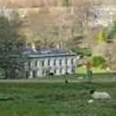
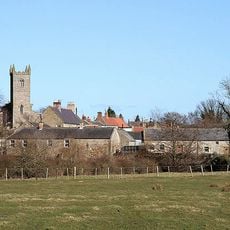
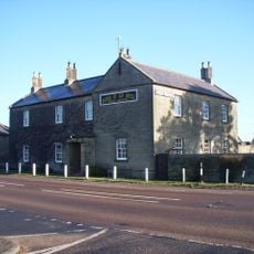
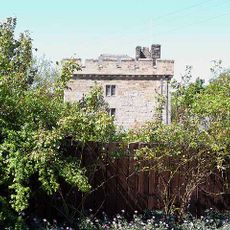
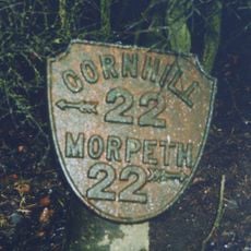
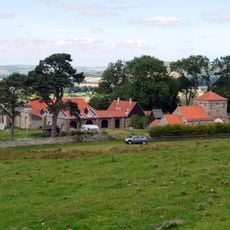
Eslington Park, Grade II* listed mansion in Whittingham, England
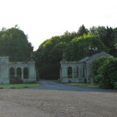
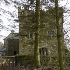
Eslington Park is a two-storey mansion in Whittingham with a U-shaped layout and nine bays across its front facade. The classical design features a Tuscan porch decorated with a triglyph frieze.
Built between 1715 and 1720 for the Liddell family, Earls of Ravensworth, the house has anchored this estate for centuries. A major expansion added three bays to the structure in 1796.
The interior displays Corinthian columns in the entrance hall, along with an early 19th-century staircase and a carefully crafted coved plaster ceiling.
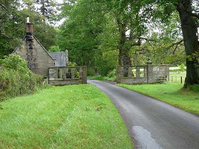
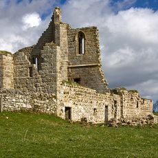
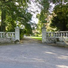
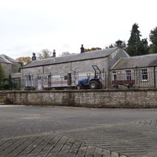
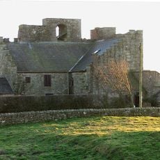
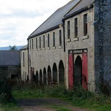
The estate includes a single-storey garage and a mid-19th-century stable block alongside several other listed buildings scattered across the grounds. Plan time to explore the full property and its surroundings.
The east wing contains an early 18th-century staircase with both twisted and columnar balusters, blending different design approaches from the period. This feature reveals the varied craftsmanship of builders working at that time.
Location: Whittingham
GPS coordinates: 55.40280,-1.93430
Latest update: December 12, 2025 14:24
Callaly Castle
2.4 km
Cartington Castle
7.6 km
Hedgeley Hall
5.9 km
Shawdon Hall
5.5 km
St John the Baptist, Edlingham
7.8 km
Church of St Michael, Alnham
5.3 km
Clinch Castle
2.8 km
Church of St Bartholomew
2.4 km
Church of St Michael
4.8 km
Bolton Chapel
6.6 km
Bolton Bridge Over River Aln
6.7 km
Bridge Of Aln Hotel
4.6 km
Whittingham Tower And Attached Cottage
2.7 km
Crawley Tower With Cottage Inside
5.1 km
Hawe Headstone 5 Metres South Of Tower Of Church Of St John The Baptist
7.8 km
Guide Post East Of Road Junction North East Of Bolton Village
7 km
Milepost 60 Metres South Of Entrance To High Learchild
5.5 km
Milepost 370 Metres North Of Junction With Road To Glanton
4.4 km
South Lodge And Gate Screen (Shawdon Hall)
5.7 km
Farmbuildings Circa 30 Metres West North West Of Lorbottle Farmhouse
5.7 km
Milepost 580 Metres South East Of Powburn Post Office
4.8 km
Ruins Of Screen Wall And End Pavilions To South Of Hermitage
6.3 km
Brandon Farmhouse
5 km
Guide Post On West Side Of Road Junction 400 Metres North Of Hedgeley Hall
6.3 km
Guide Post On South Of Road Junction 300 Metres West Of Battle Bridge
7.4 km
Milepost 520 Metres South Of Percy Cross
6.8 km
Tower House
5.3 km
Sheepfold 200 Yards North Of Greensidehill
7.6 kmVisited this place? Tap the stars to rate it and share your experience / photos with the community! Try now! You can cancel it anytime.
Discover hidden gems everywhere you go!
From secret cafés to breathtaking viewpoints, skip the crowded tourist spots and find places that match your style. Our app makes it easy with voice search, smart filtering, route optimization, and insider tips from travelers worldwide. Download now for the complete mobile experience.
A unique approach to discovering new places❞
— Le Figaro
All the places worth exploring❞
— France Info
A tailor-made excursion in just a few clicks❞
— 20 Minutes