Callaly Castle, Medieval castle in Callaly, England
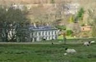
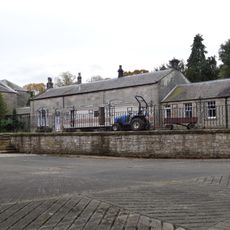
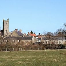
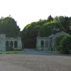
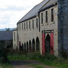
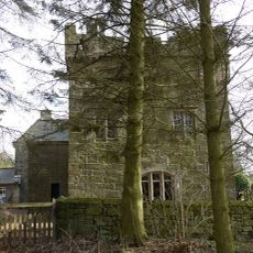
Callaly Castle is an English country house in Callaly, Northumberland, built around a medieval peel tower that still forms part of the main structure. The house grew outward from this fortified core over several centuries, with later wings added in different building styles.
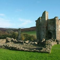
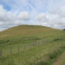
The land was used as an Iron Age fortification long before any house was built here, and traces of those early defenses remain beneath the foundations. The Clavering family took ownership in the medieval period and gradually turned the fortified site into a private home over the following centuries.
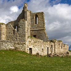
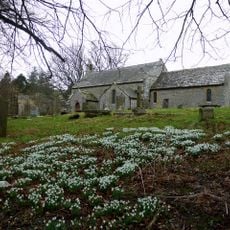
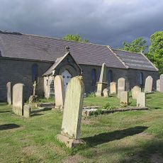
The chapel inside shows how the Clavering family practiced their faith while living here for centuries. You can still sense how religion was woven into the daily life of those who called this place home.
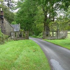
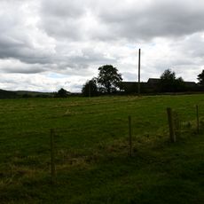
The property sits in rural Northumberland, west of Alnwick, and is best reached by car since public transport options in the area are limited. It is a private residence, so any visit needs to be arranged in advance.
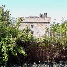
The peel tower at the heart of the building is not just a visual feature but an actual load-bearing part of the structure that visitors can experience from inside. This makes Callaly one of the few places in northern England where a fortified tower was absorbed so completely into a later house.
The community of curious travelers
AroundUs brings together thousands of curated places, local tips, and hidden gems, enriched daily by 60,000 contributors worldwide.