Hatterrall Hill, Mountain summit in Monmouthshire, United Kingdom.
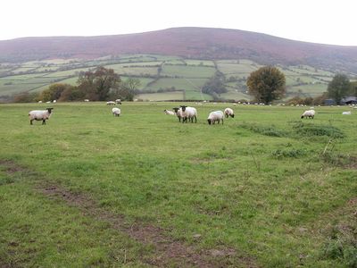
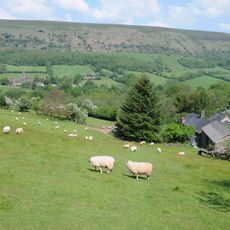
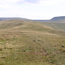
Hatterrall Hill is a striking mountain summit in Monmouthshire with steeply falling slopes on all sides and broad ridges extending toward the north, southeast, and southwest. The peak rises to about 531 meters and forms a dominant shape in the landscape of this border region.
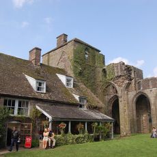
The hill marks an ancient boundary between England and Wales, defined by Offa's Dyke, an embankment built in the 8th century. This historic path crosses the region and connects the past of this divided landscape with its present form.
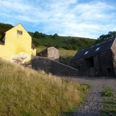
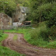
The mountain slopes show traces of old quarries that tell the geological story of the area, with layers of different rock types from the Devonian period. Visitors can spot these natural cuts in the landscape while walking and understand how this place was once used.
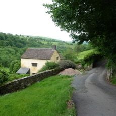
Multiple public footpaths provide access to the open countryside from the Vale of Ewyas to the west and the Monnow valley to the east. The routes are walkable for most visitors, but you should prepare for changing weather and uneven ground.
The southwestern ridge terminates at a steep rock face called Darren, where an extensive landslip system extends southward to the village of Cwmyoy. This landscape feature shows the dramatic geological forces that have shaped this border region.
The community of curious travelers
AroundUs brings together thousands of curated places, local tips, and hidden gems, enriched daily by 60,000 contributors worldwide.