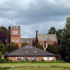
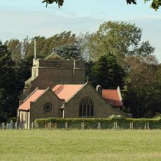
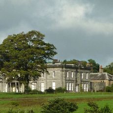
Wyresdale Park, Grade II listed country house in Nether Wyresdale, England.
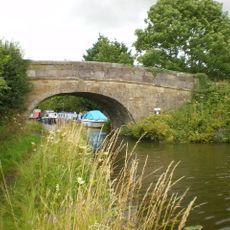
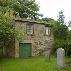
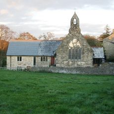
Wyresdale Park is a Gothic Revival country house in Nether Wyresdale, set within an extensive estate featuring parkland, gardens, woodlands, and a lake built in 1897. The grounds span several acres and include various spaces for events along with residential accommodation.
The hall was built between 1856 and 1858 by architect Edward Graham Paley for the Ormrod family as a significant Victorian residence. This construction reflected the family's prominence during that era.
The estate shifted from a private residence into a modern venue that helps visitors connect with Lancashire's farming traditions. A working farm on the grounds keeps this link to rural life active and visible.
The site offers wedding ceremonies, outdoor accommodation options, an on-site café serving local food, and access to numerous walking trails throughout the grounds. Visitors should wear comfortable shoes, as the estate is best explored on foot.
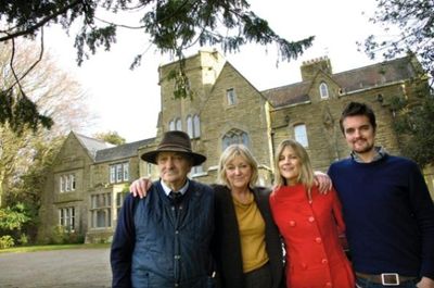
The acclaimed artist Dame Laura Knight visited the estate in 1912 at Captain Peter Ormrod's invitation and drew creative inspiration from the setting. This visit connected the place to wider artistic circles of the era.
Location: Nether Wyresdale
Architectural style: Gothic Revival
GPS coordinates: 53.93640,-2.75060
Latest update: December 8, 2025 19:58
Greenhalgh Castle
4.1 km
Winmarleigh Hall
4.2 km
St Peter's Church, Scorton
794 m
All Saints Church, Barnacre
3.2 km
St Luke's Church, Winmarleigh
3.9 km
Pennine Tower
2.9 km
Church of St John Evangelist
4.1 km
United Reformed Church
2.9 km
Potters Brook Bridge (Number 81)
4 km
Building In Churchyard North-West Of United Reformed Church
2.9 km
St James' Church, Shireshead
2.7 km
Bridge Over River Wyre In Grounds Of Wyreside Hall
3.4 km
Crookhall Bridge
3.9 km
Richmond Bridge (Number 80)
3.9 km
Arts Centre
4 km
Forton, Cleveley and Holleth War Memorial
2.9 km
Cabus Cross
2.5 km
Wyreside Hall, Coach House, And Ice House
3.9 km
Boundary Stone
3.4 km
Scorton War Memorial, Lancashire
701 m
Cross Base North Of Forton Hall
3.3 km
Milestone
1.6 km
Boundary Stone South Of Potters Brook Bridge
3.8 km
Milestone
3.4 km
Milestone
3.4 km
Milestone
3.7 km
Milestone, Forton
2.2 km
Milestone, Garstang Road; Fowlers Hill where old curve forms a lay-by
2.4 kmVisited this place? Tap the stars to rate it and share your experience / photos with the community! Try now! You can cancel it anytime.
Discover hidden gems everywhere you go!
From secret cafés to breathtaking viewpoints, skip the crowded tourist spots and find places that match your style. Our app makes it easy with voice search, smart filtering, route optimization, and insider tips from travelers worldwide. Download now for the complete mobile experience.
A unique approach to discovering new places❞
— Le Figaro
All the places worth exploring❞
— France Info
A tailor-made excursion in just a few clicks❞
— 20 Minutes