
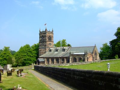
St Mary's Church, Rostherne, Gothic and Neoclassical church in Rostherne, England.
St Mary's Church is a red sandstone building combining English Gothic and Neoclassical styles in the village of Rostherne. The structure features a three-stage tower with a clock on its south side, slate and lead roofing, and sits near Rostherne Mere.
The original building dates to 1188, but the current tower was constructed between 1742 and 1744 after the previous steeple collapsed in November 1741. This reconstruction represented a major rebuilding effort for the medieval structure.
The interior displays memorials to local families, including a carved stone knight from the 13th century and tributes to the Egerton family who held significant ties to the area. These works reflect how the building has served as a gathering place for the community across generations.
The site is easily accessible on foot and open for visitors to explore the churchyard and exterior features at their own pace. Interior access includes modern facilities such as a kitchenette and wheelchair accessibility improvements to ensure comfort during your visit.
The churchyard contains a Grade II listed stone sundial and a wooden lych gate from 1640 with its original weight and pulley closing mechanism still intact. This rare working closure system offers a glimpse into how such structures functioned centuries ago.
Location: Rostherne
Inception: 14 century
Architects: Arthur Blomfield
Architectural style: English Gothic architecture, Neoclassical architecture
Website: http://achurchnearyou.com/rostherne-st-mary
GPS coordinates: 53.34950,-2.38800
Latest update: December 13, 2025 17:10
Tatton Park
2.1 km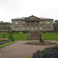
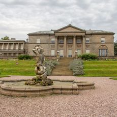
Tatton Hall
2.1 km
Watch Hill Castle
2.4 km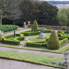
Tatton Park Gardens
2.3 km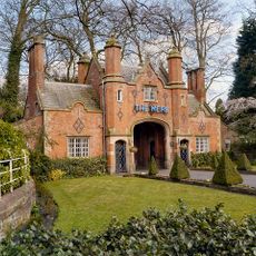
Entrance arch and gates to Mere New Hall
2.5 km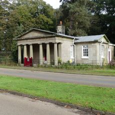
Rostherne Lodge
1.1 km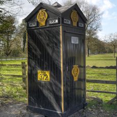
AA box 372 at Mere Corner
2.5 km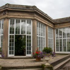
Orangery
2.2 km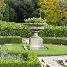
Eastern vase on lower terrace garden before south front of Tatton Hall
2.2 km
Boothbank Farmhouse
2.3 km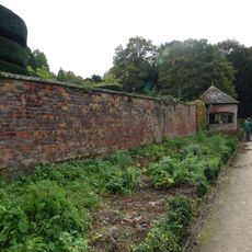
Walls of Western Kitchen Garden
2.3 km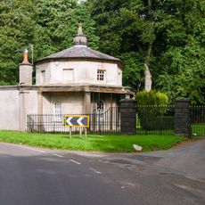
Mere Lodge
2.3 km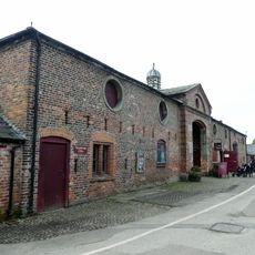
Stable block and barn to Home Farm
1.5 km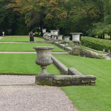
Upper terrace wall, garden before south front of Tatton Hall
2.2 km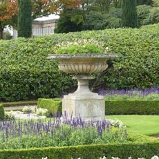
Western vase on lower terrace, garden before south front of Tatton Hall
2.2 km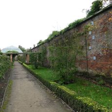
South wall of Eastern Kitchen Garden
2.2 km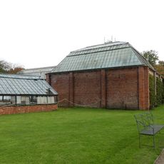
Palm House to west of Orangery
2.2 km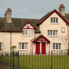
Laundry Building
393 m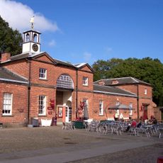
Stable Block
2.1 km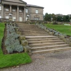
Flight of steps between intermediate and lower terrace of garden before south front of Tatton Hall
2.2 km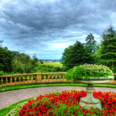
Wall and balustrade of Lower Terrace. Garden before south front of Tatton Hall
2.2 km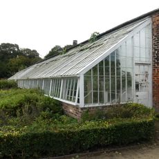
Stone wall and hothouses in Western Kitchen Garden
2.3 km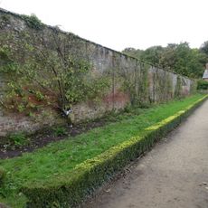
North and east walls of Eastern Kitchen Garden
2.2 km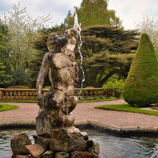
Pool wall and Triton Fountain in lower terrace garden before south front of Tatton Hall
2.2 km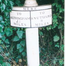
Milepost, S of Bucklow Hill
1.4 km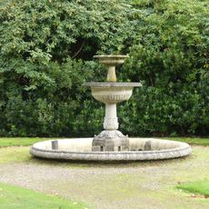
Pool and fountain before south front of Orangery
2.3 km
Walls to Service Court Tatton Hall
2.1 km
Milestone, Chester Road; Bucklow Hill
1.2 kmVisited this place? Tap the stars to rate it and share your experience / photos with the community! Try now! You can cancel it anytime.
Discover hidden gems everywhere you go!
From secret cafés to breathtaking viewpoints, skip the crowded tourist spots and find places that match your style. Our app makes it easy with voice search, smart filtering, route optimization, and insider tips from travelers worldwide. Download now for the complete mobile experience.

A unique approach to discovering new places❞
— Le Figaro
All the places worth exploring❞
— France Info
A tailor-made excursion in just a few clicks❞
— 20 Minutes