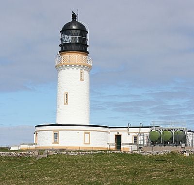
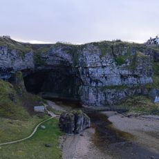
Cape Wrath Lighthouse, Category A listed lighthouse in Highland, Scotland
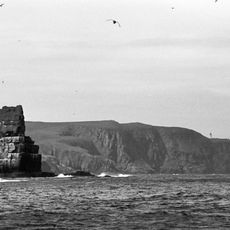
Cape Wrath Lighthouse is a white cylindrical tower standing on cliffs at the northwestern edge of mainland Britain, topped with a black lantern housing. The structure sits on an exposed headland overlooking the waters where shipping routes converge into some of Europe's busiest traffic lanes.
Robert Stevenson designed and built this lighthouse in 1828 as the first permanent navigation aid along this remote section of Scottish coast. The construction responded to the dangerous conditions of these heavily trafficked waters and represented a major step forward in British maritime safety.
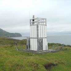
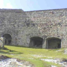
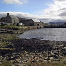
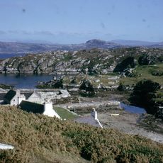
The site contains buildings that Lloyd's of London constructed to help ships communicate with each other in these waters. These structures show how maritime messaging worked before modern radio technology became available.
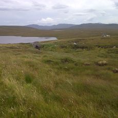
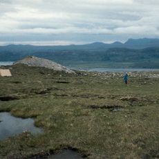
Reaching the site requires traveling across a military training area where access is only possible when no military exercises are taking place. Visitors should check conditions before planning a trip and understand that accessibility depends on the military schedule at this remote location.
The light uses a first-order Fresnel lens, an advanced optical design that projects the beam across more than 35 kilometers of ocean. This engineering approach was cutting edge when built and allows the lighthouse to reach vessels over remarkably long distances.
The community of curious travelers
AroundUs brings together thousands of curated places, local tips, and hidden gems, enriched daily by 60,000 contributors worldwide.