Cranstackie, Mountain summit in Highland, Scotland
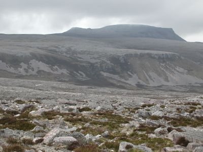
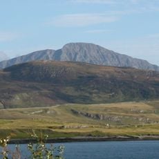
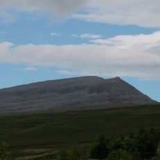
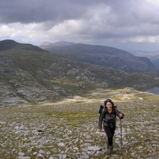
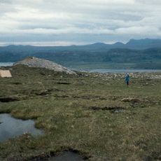
Cranstackie is a mountain in Sutherland in the Scottish Highlands that rises to 801 meters. The summit area is covered with large boulders and blocks of sandstone that create a rough, continuous plateau.
The mountain appeared on early Ordnance Survey maps as Crann Stachach, with the name possibly referring to uneven ground or horizontal shapes. The region shifted over the past 2 centuries from an isolated mountain landscape to a recognized hiking destination.
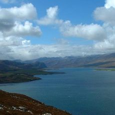
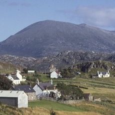
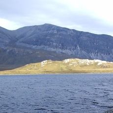
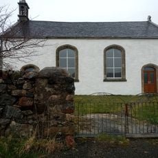
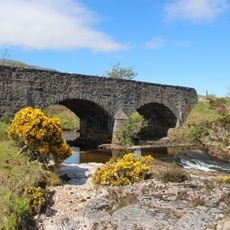
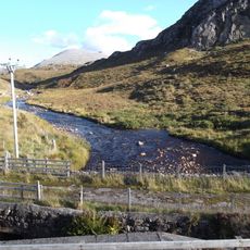
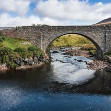
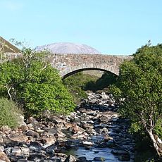
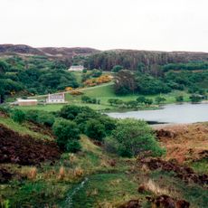
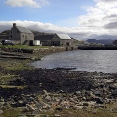
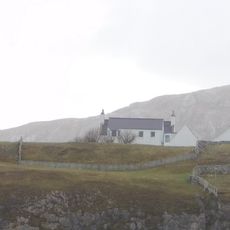
The mountain sits in a region shaped by centuries of pastoral life, where local communities have worked the sparse landscape. Visitors today experience the open moorland and sense of isolation that define this part of the Highlands.
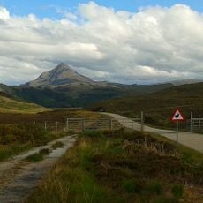
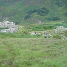
Several routes lead to the summit, with most hikers starting from Carbreck and following an established path to the mountain base. The climb suits experienced walkers, and it is wise to check weather conditions beforehand as conditions can change quickly.
The mountain features a distinctive southern shoulder that stretches for 5 kilometers and rises sharply above the Srath Dionard valley. This unusual shape makes it easily recognizable despite its moderate height and creates a stand-out formation in the landscape.
The community of curious travelers
AroundUs brings together thousands of curated places, local tips, and hidden gems, enriched daily by 60,000 contributors worldwide.